25 October 2024
22 October 2024
As part of EUMETSAT’s core mission of delivering satellite-derived products for weather and climate monitoring, science and innovation in the use of EUMETSAT satellite data has enabled new ways of monitoring hurricanes, better tracking of volcanic ash transport and sulphur dioxide emissions, and more effective means of retrieving climate-relevant datasets on parameters such as clouds and precipitation.
To drive these advances, scientific development roadmaps were initiated at EUMETSAT in 2016 to improve the consistency, flexibility, and applicability of products using observations from EUMETSAT-operated satellite systems and instruments. The roadmaps serve as references for activity planning – including product development and implementation planning for operational missions – and for scientific studies aimed at supporting new products and product enhancements for current and next-generation satellite programmes.
Current roadmaps include:
- aerosols
- winds
- image navigation, registration and calibration
- radio occultation
- hyperspectral infrared products
- atmospheric chemistry
- marine applications
- cloud products
- passive microwave products
- fiducial reference measurements
- meteorology and marine pathfinders
Background and key aims
The scientific development roadmaps focus on all stages of the relevant satellite programmes – from initial concept and planning to implementation, operations, performance assessment, and product development.
The roadmaps aim to ensure that data from EUMETSAT’s programmes meet the evolving needs of users in its member states, including their national meteorological and hydrological institutes, and are closely linked with the work of the EUMETSAT satellite application facilities.
Objectives detailed in the roadmaps undergo review by representatives from EUMETSAT member states and are then approved by the EUMETSAT Council.
Maximising data potential
Examples of science in the use of EUMETSAT’s meteorological satellite data:
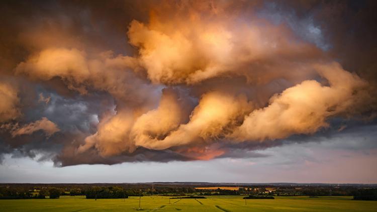
Earlier thunderstorm warnings
Near-real-time imagery from EUMETSAT’s geostationary satellites is essential to help weather forecasters monitor and predict storms and other dangerous conditions in real time, known as nowcasting. However, a major limitation has been that tracking storms is typically only possible after clouds have already formed.
To address this, specialists are looking into ways to use another type of data, called hyperspectral sounding, alongside near-real-time images. This approach, which would make use of imagery and hyperspectral sounding data provided by EUMETSAT’s Meteosat Third Generation programme, could help detect early signs of unstable conditions, allowing for better nowcasting of severe storms before clouds even begin to form. For more information click here.

Enhanced monitoring of essential climate variables
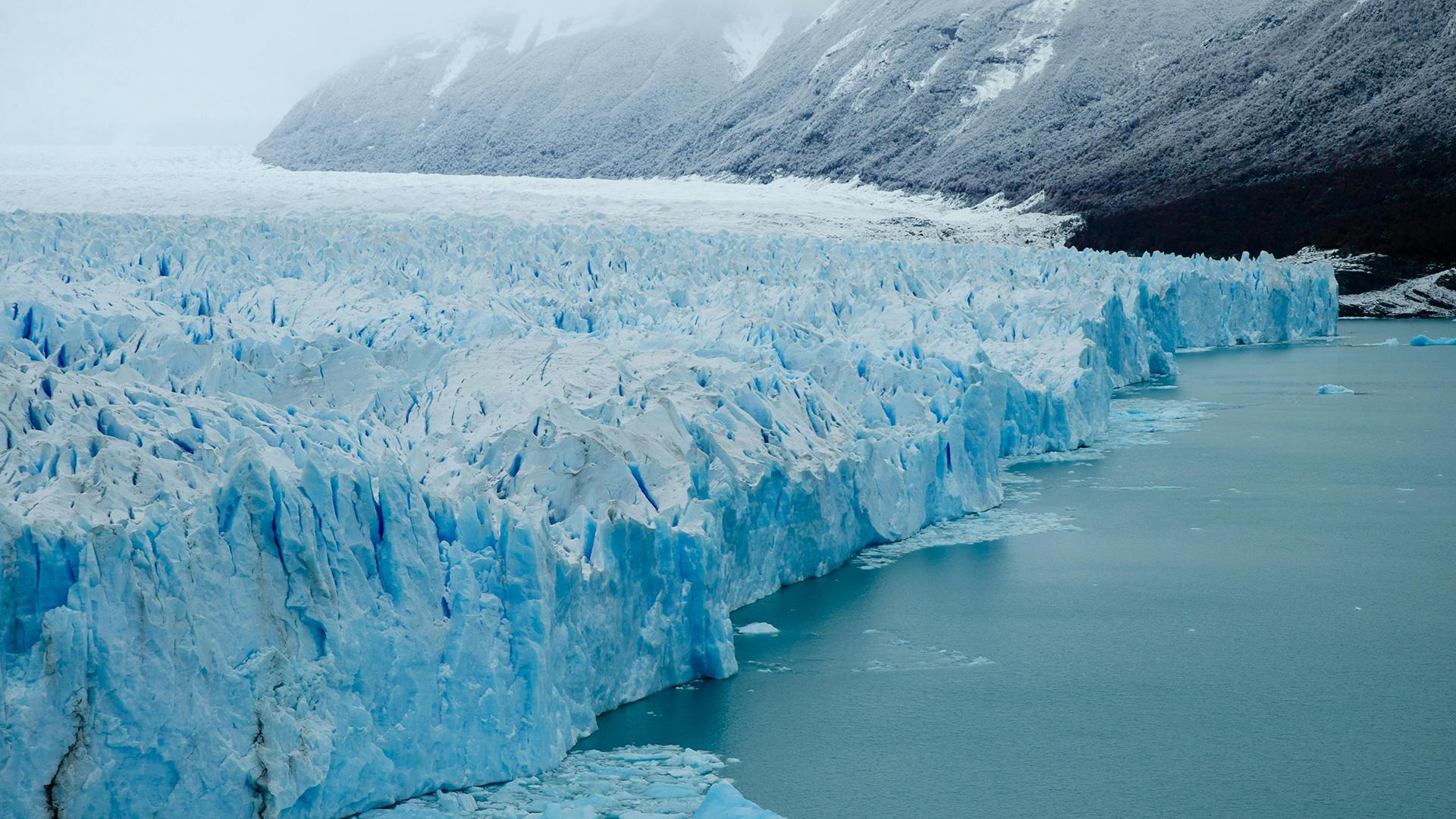
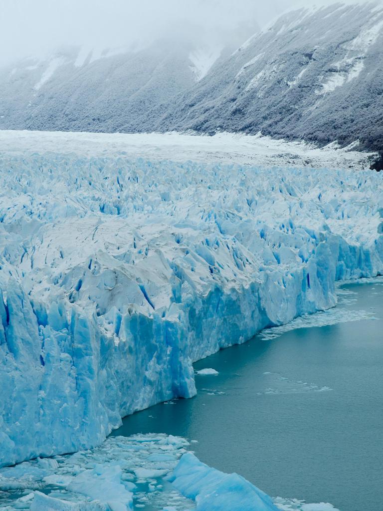
EUMETSAT-operated programmes deliver data that play a crucial role in monitoring climate change and improving weather forecasts.
Using data from the Copernicus Sentinel-3 satellite constellation, specialists can track temperature changes across oceans and ice, with global coverage of high-quality Earth observations on a more than daily basis.
Scientific studies focus on enhancing the quality of this data, improving monitoring tools, and facilitating the collaboration and global data sharing required for improved forecasts and climate research.
For more information click here.


