28 February 2025
05 October 2023
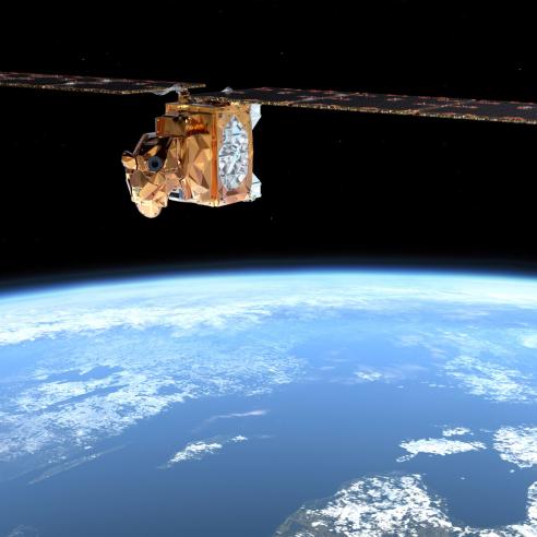
To work towards this goal, EUMETSAT is partnering with the European Space Agency (ESA) on the EPS-Aeolus programme. ESA will provide two satellites, to be launched sequentially, that will both carry a Doppler wind lidar instrument.
The operational EPS-Aeolus mission builds on the success of Aeolus, a precursor experimental mission, part of the “Earth Explorer” programme of the European Space Agency (ESA) that flew from July 2018 to July 2023. The initial Aeolus mission demonstrated that a space-based ultraviolet wind lidar can accurately measure atmospheric winds for a substantial length of time, and significantly impact numerical weather prediction models.
This state-of-the-art instrument will provide operational and high-resolution wind measurements to all data users, in a timely way. This is expected to improve the accuracy of numerical weather prediction models by providing global wind information that is currently not available and will improve severe storm prediction worldwide.

EPS-Aeolus will also carry a Radio Occultation Sounder, pending confirmation of feasibility by the European Space Agency.
EPS-Aeolus will be part of the EUMETSAT Polar System, and will complement observations from the EUMETSAT Polar System – Second Generation satellites. It will also complement observations from other meteorological polar-orbiting satellites operated by our international partners in order to fulfil the global observing requirements of the World Meteorological Organization’s Integrated Global Observing System (WIGOS).
Facts and Figures
- Altitude: ~400-450km
- Mass in orbit: 2.5 tonnes
- Payload mass: 1 tonne
- Design lifetime: 5.5 years (minimum)
- Mission duration: 10 years
- Expected launch date of first satellite: 2034

