Tracing echoes in a storm
How meteorologists in Romania use data from weather satellites to nowcast unusual thunderstorms in the moment

Key points:
- Using near-real-time satellite data and other observations, Raul Cioc’s team tracked the unexpected developments of a major storm over Central Europe
- The observations supported the issuing of orange and red weather warnings for strong winds and large hail associated with the storm
- Raul Cioc visited EUMETSAT’s headquarters in June to take part in a severe storms workshop, which explored the use of data from EUMETSAT’s next-generation satellites in nowcasting storms
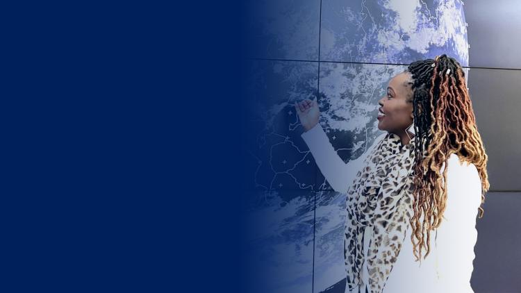
On 13 July 2023, Raul Cioc, a newly qualified weather forecaster, was preparing for a shift in the forecast room at the Sibiu Meteorological Centre in Romania.
10 October 2024
04 October 2024
Convective activity was predicted in the region and Cioc felt a sense of exhilaration at the thought of applying his skills to tracking the evolution of thunderstorms.
“What I hadn’t been expecting was one of the most long-lived supercell thunderstorms of the year in Europe,” recalls Cioc, who is a specialist in nowcasting – short-term weather forecasts that depend on the near-real-time data provided by spacecraft such as those in EUMETSAT’s Meteosat and Metop programmes.
When the storm reached Romania, it evolved into a weather system known as a “bow echo”, where thunderstorm bands are driven by linear wind patterns, with the storm clouds resembling an archer’s bow, or a comma, in satellite and radar images.

Credit: Romania’s National Meteorological Administration
“These rare formations occur under very specific conditions – including high atmospheric instability and dry air in the mid-atmosphere,” Cioc says. “They can produce extreme wind gusts.
“During the evening and night, a cold atmospheric front crossed south-eastern Europe, causing severe convective storms. These storms produced large hail, strong winds, and numerous lightning strikes
“At times it got scary, with wind-driven thunderstorms injuring people and causing significant damage to houses, cars and crops.”
However, the situation could have been worse had it not been for orange and red weather warnings issued by the Sibiu Meteorological Centre in coordination with Romania’s National Meteorological Administration.
“We identified these dangerous conditions using weather observations from the current moment, including from radar data and near-real-time satellite data,” says Cioc.
“Nowcasting enables us to predict what the weather will look like in the next minutes and hours and narrow down the uncertainties in weather models.”

Credit: Romania’s National Meteorological Administration
Judging correctly
Forecasters then use their know-how and experience to interpret what is happening and issue advisories where necessary.
“For extreme weather such as high winds, there are defined criteria for when to issue warnings,” Cioc says. “However, for fast developing events like bow echoes, it can fall much more on the forecaster’s interpretation of the situation.
“Here, near-real-time satellite data detailing temperature, precipitation, humidity and cloud coverage at different altitudes play a crucial role in helping meteorologists predict how things might develop.
“Meteorology is not an exact science and if you predict something that doesn’t happen, then people may lose confidence in the forecasts. But if you fail to forecast severe weather, it can be a matter of life and death.
“Many tragic events happen because people are not prepared for the weather conditions that they find themselves in. Therefore, issuing advisories can be nerve-wracking, because it’s so important to get them right.”
In June 2024, Cioc visited EUMETSAT’s headquarters to take part in a workshop run by specialists from the European Severe Storms Laboratory, which explored the potential of data from next-generation satellite missions to support nowcasting.
“Forecasters from across Europe were tasked with nowcasting severe weather events using data from EUMETSAT’s new Meteosat Third Generation programme,” he says.

Image courtesy of Raul Cioc
“I was particularly impressed by the new space-based lighting observations provided by the Lighting Imager, which enable meteorologists to detail the extent, form and flash rates of lighting in thunderstorms.
Credit: EUMETSAT
“I became a meteorologist because I was fascinated by the hidden atmospheric conditions that drive the evolution of thunderstorms.
“Using satellite data, you can see the mesmerising development of overshooting tops and observe their evolution in four dimensions.
“With the incredible new data from EUMETSAT’s next generation missions we will be able to see much more still – it’s game changing.”
Author:
Adam Gristwood