In West Africa, monitoring droughts with satellites saves lives
AGRHYMET uses satellite data to forecast the rainy season.

Sarah Kimani explains how data access and training initiatives in Africa are supporting specialists in harnessing the power of data from EUMETSAT’s satellite programmes

19 August 2024
19 August 2024
Cyclone Idai was one of the deadliest cyclones to ever hit Africa, killing more than 1,500 people and displacing hundreds of thousands more. Many were not warned in time of what was coming.
“While forecasters predicted storm Idai would make landfall, many rural communities did not receive warnings in time,” says Sarah Kimani, a meteorologist and satellite applications trainer at the Kenya Meteorological Department in Nairobi.
“In Africa, there is a huge need for investment in infrastructure to improve resilience to severe weather events such as floods and high winds. Nevertheless, many people could have been saved had there been coordinated evacuations.”

The United Nations has set a goal for every person on Earth to be protected by early warning systems by 2027. Kimani says access to data from meteorological satellites plays a powerful role in African countries reaching this goal.
“There are a lot of Earth observation data available to Africa, including from EUMETSAT’s Meteosat and Metop programmes and the Copernicus Sentinel missions,” says Kimani, who chairs the World Meteorological Organization’s (WMO) Regional Association I Dissemination Expert Group (RAIDEG). “However, despite the potential to enrich forecasts, specialists often don't harness these datasets as much as they could.”

RAIDEG was established in 2010 in cooperation with EUMETSAT to improve data accessibility and user awareness in African regions. Some members also focus on developing opportunities for specialists to acquire and strengthen the skills and knowledge to access, manipulate and interpret satellite data and products.
“In Africa, Earth observation data is sometimes seen as intimidating or challenging to use and this is due to lack of information or knowhow,” she says. “Therefore, one of our top priorities is to demystify the use of satellite data by strengthening forecasters' skills and knowledge through training opportunities and resources developed for the African region by the African Satellite Meteorology Training programme.
“This requires training African forecasters and researchers on how to handle the massive amounts of data useful for forecasts and other critical services. This is particularly important as next-generation satellites take to the skies.
“If we don't do this, Africa will be left behind.”

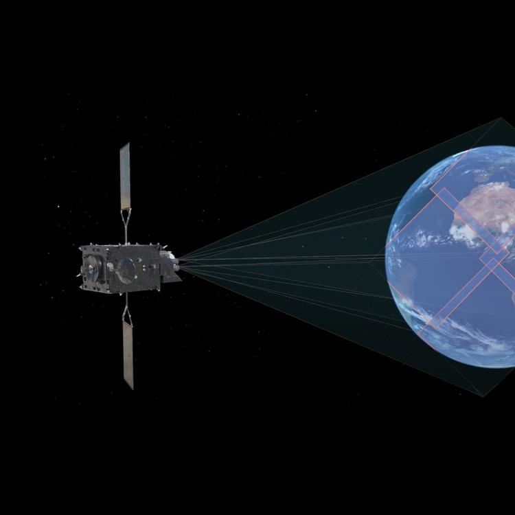
One focus is on data provided by the Meteosat Third Generation (MTG) programme, EUMETSAT’s new geostationary satellite mission, which has a constant view of Europe and Africa. Amongst a multitude of applications, MTG data has potential to enable forecasters to improve nowcasting – the prediction of challenging atmospheric conditions in very short timeframes, in just hours.
“By providing data more regularly and at higher resolution, MTG will open new opportunities for forecasters to warn of imminent hazards and to predict fast developing severe weather such as strong winds, lightning, hail, heavy rain, tropical cyclones, and thunderstorms,” Kimani explains.
“This will be particularly valuable in storm-prone regions such as western Kenya, where the interaction between Lake Victoria and East Africa’s highlands produce weather that is often characterised by deep convective storms, creating one of the stormiest regions on Earth.
“With these satellite observations, forecasters will be able to see cloud structure more clearly, monitor lightning flashes from space for the first time, and see in finer detail how storms evolve over time. This will help them to identify what stage a storm is at, and whether it might be dissipating or continuing to develop.
“At the moment, weather advisories in African countries are typically issued every 24 hours with just a few countries issuing weather advisories in nowcasting timescales of 0-6 hours. Our goal is to increase this to timescales of 0-6 hours carried out in the majority, if not all, African countries.
“To deliver effective nowcasting requires constant monitoring of the current atmospheric situation. Therefore, in our nowcasting training, we focus on how forecasters can harness and use MTG data, carry out nowcasting, and disseminate the information to stakeholders in a timely manner.”
New observations from space of lightning flashes will provide further opportunities to use MTG data to protect communities in areas prone to lighting, Kimani says.
“In Kenya, dozens of people die each year directly from lightning strikes. Lightning data records will help specialists to build up knowledge and map areas that are particularly vulnerable to lightning and provide early warning to communities in these areas to take precautions.
“This kind of initiative will save lives.”
In 2014, Kimani spent three months at EUMETSAT’s headquarters in Darmstadt, on a visiting trainer mission to strengthen her skills on how to develop and implement satellite application training for Africa. She has been a regular guest ever since, working closely with EUMETSAT as a training partner. An image taken by EUMETSAT’s Meteosat-10 satellite on the day she first touched down in Germany, 3 March 2014, hangs proudly on her office wall in Nairobi.

“I grew up on a small farm and saw personally the devastating impacts of crop failures on my family,” she says. “We did not have warnings of weather that might dry out produce or flood our fields. When I saw the positive impacts that accurate weather forecasts can have in helping people like my mum and her peers in the village make better decisions on when to plant and harvest, it inspired me to become a meteorologist.
“Having the opportunity to work together with EUMETSAT’s talented trainers and staff was the start of my own journey as a satellite data application trainer. Even just over a decade ago, meteorology in Africa was still a male-dominated field, but I was lucky to have been among a few female meteorologists chosen from thousands of female scientists to work in the industry. In addition, I was supported by a female mentor who believed in me, saw my potential, and provided the opportunities that I needed to grow.
“I was able to come and see first-hand how EUMETSAT structures trainings for satellite data users, such as specialists from national meteorological and hydrological organisations. I learned about the satellite products that are available and freely accessible for Africa, and a lot of other useful aspects in terms of Earth observation, from a training perspective.”
Kimani then returned to Kenya and put that knowledge into action.

“One of my priorities now as the chair of RAIDEG is to encourage African countries to work together with EUMETSAT and the WMO to maximise the potential of meteorological satellite data,” she says.
“African countries need to build the channels necessary to make sense of the data and disseminate early warnings so that policy makers, communities, and emergency responders can carry out action that they need to take immediately and with effect.
“Satellite data are used not only to save lives, but also to guide people’s daily activities. For example, MTG will provide high-resolution imagery of low-lying clouds that will support authorities in fog-prone cities such as Addis Ababa in Ethiopia, limit disruption to roads and airports and help people to better plan daily activities.
“Satellite data products also have huge potential in improving monitoring and management of air pollution and in adapting to and mitigating the impacts of climate change.
“Therefore, it’s important that we promote collaboration and training not only in forecasting, but also in research that can support everything from tackling the climate crisis to delivering marine services.
“Across Africa, countries are facing many similar issues and challenges: if we talk to each other, we will be better able to solve them. Satellite data products and services can help countries to save lives, properties and infrastructure and improve their economies.
“We have to harness these opportunities.”