Diving into the data: drought monitoring in Switzerland
Meteorological satellite observations from EUMETSAT’s programmes are supporting the development of innovative drought monitoring approaches in Switzerland

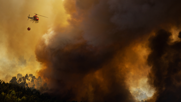
Like much of Europe, Switzerland has seen an increase in the likelihood of extreme weather events such as summer heatwaves. However, while the country has warning systems for storms, landslides, avalanches, and forest fires, there are currently none for droughts.
31 July 2024
17 June 2024
Dr Anke Tetzlaff, senior satellite expert at MeteoSwiss and EUMETSAT’s Satellite Application Facility for Climate Monitoring and Dr Vincent Humphrey drought expert at MeteoSwiss want to change that.
“Recent reanalyses of long-running time-series satellite data have indicated alarming trends during the past 30 years,” says Tetzlaff, whose work is dedicated to the development and validation of Meteosat climate data records.
“Summers in Switzerland have grown warmer, with less precipitation, more evapotranspiration, drier soils, and more extreme heatwaves.
“Satellite data provide an invaluable tool for monitoring changes in conditions because the frequency and precision of measurements provide a near-constant picture of how drought-related parameters are fluctuating.”

Image courtesy of Anke Tetzlaff and Vincent Humphrey
Towards better drought monitoring
In 2023 Switzerland began a project aimed at establishing an operational drought monitoring and warning system. The possibility to deliver warnings making use of operational satellite data is expected by the end of 2024.
“Drought is a complex phenomenon that has multiple underlying causes and effects,” says Humphrey, whose role on the Swiss project involves exploring how diverse satellite observations from past decades can be used to support the endeavour.
“Switzerland is a small country with very diverse landscapes. Integrating relevant variables such as land surface temperature, evapotranspiration, and vegetation health in a way that is meaningful for drought monitoring is still lacking at a regional level, like in many countries.
“Current drought monitoring methods are largely reliant on information provided by ground stations, and just a few satellite-based parameters.”

Credit: MeteoSwiss
Satellite data products provided by EUMETSAT’s Satellite Application Facility network present opportunities to expand the types and spatial coverage of observations. They can enable forecasts to better reflect the complexity of different drought conditions, as detailed in recent work by Tetzlaff and her colleagues.
“We are exploring to what extent we can integrate data from current weather forecasts with historical satellite data to improve drought monitoring,” says Tetzlaff.
“We want to integrate historical satellite data on drought-relevant variables such as soil moisture, land surface temperature, vegetation state, and evapotranspiration to provide a better spatial overview of the conditions leading to droughts.
“It’s a huge challenge to translate different data types and models into analysis and prediction, and to ensure the data are consistent over time. The most important aspects are that the data we use are robust, stable, and taken consistently over decadal time periods.”

Towards drought prediction
Ultimately Tetzlaff hopes the project will enable specialists to develop better drought monitoring approaches and to provide advance warnings that are more user focused.
“We can only generate this information by combining in situ data, satellite data, and models,” she says. “It will allow us to look for patterns, for instance between land surface temperatures and the onset of droughts, or between soil moisture conditions and vegetation health.
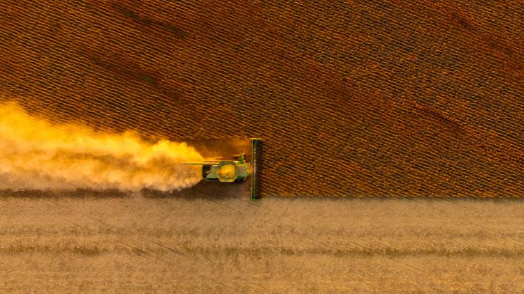
“This will not only support monitoring efforts, but also enable drought predictions that can warn of damage to crop yields based on weather conditions earlier in the season, or to spot earlier signs of river and lake depletion.
“It has the potential to provide information that is much more meaningful to communities.”
Diving into the data
Land surface temperature

Credit: MeteoSwiss
Evapotranspiration

Credit: MeteoSwiss
Soil Water Index

Credit: Meteoswiss
Vegetation Health Index

Credit: MeteoSwiss
Author:
Adam Gristwood