

02 September 2024
24 April 2024
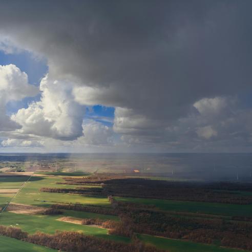
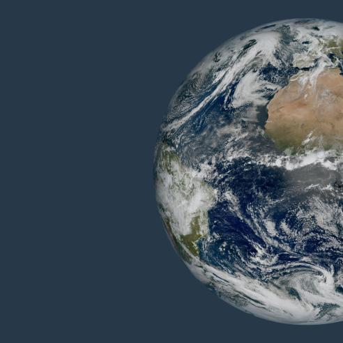
EUMETSAT supports the operational monitoring of the Earth’s surface with observations provided by the Metop and Meteosat satellites.
Satellites operated by EUMETSAT deliver crucial data on land surface temperature, solar radiation reaching the Earth surface, soil moisture, vegetation, fires, snow cover, and many more parameters.
Snow cover studies
To continually improve the quality of the land surface data we provide and to respond to user needs, EUMETSAT organises scientific studies.
These studies aim to evolve the existing operational land products, to prepare for data from planned satellites such as Metop-SG and MTG, and to develop new products.
All studies on the land are listed below and grouped by satellite.
EPS-SG
Snow Cover/Extent Demonstrator from Optical Sensors (SEDOS)
Lake ice characterisation from altimetry missions
Experts at EUMETSAT use these observations in scientific studies with the goal of creating improved products that best meet the evolving needs of meteorologists, climate researchers, and others who contribute to weather, climate, and environmental monitoring.