


02 September 2024
24 April 2024
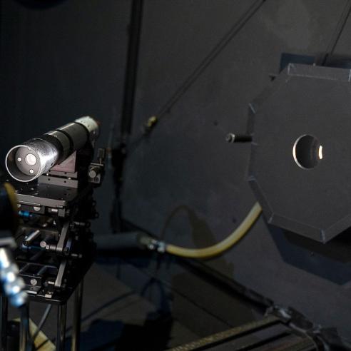
EUMETSAT performs studies on instruments on board the Metop, Meteosat, Metop-SG, and Copernicus Sentinel-3 satellites.
From creating test data sets to approximate instrument measurements and performance to finding out how instruments will perform under certain circumstances, these studies help to improve the accuracy and usefulness of satellite observations.
Towards better data and products
To continually improve the quality of the observations we provide and to respond to user needs, EUMETSAT organises scientific studies.
Studies on instruments aim to assess product quality, find new ways to process instrument data for specific applications, and assess the impact of certain instruments on Numerical Weather Prediction models.
All instrument studies are listed below and are grouped by satellite.
Experts at EUMETSAT use these observations in scientific studies with the goal of creating improved products that best meet the evolving needs of meteorologists, climate researchers, and others who contribute to weather, climate, and environmental monitoring.