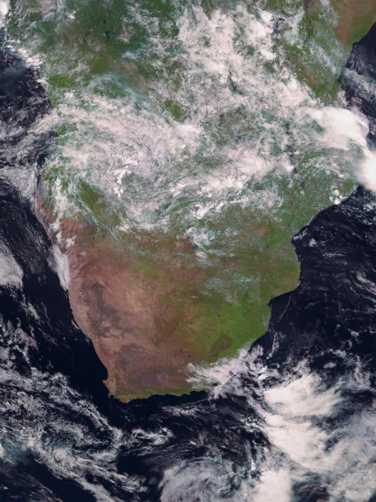
The image was captured by the SEVIRI instrument onboard Meteosat-10 satellite in geostationary orbit 36,000km above the Earth.
Geostationary satellites provide imagery for the early detection of fast-developing severe weather, weather forecasting and climate monitoring.
EUMETSAT currently operates three satellites from the Meteosat Second Generation, Meteosat-9, -10 and -11 in geostationary orbit (36,000km) over Europe, Africa and part of the Indian Ocean. It also operates the first satellite of the Meteosat Third Generation series, MTG-I1, which was launched in December 2022.
Watch our near-live data feed from the Meteosat satellites and access data here in EUMETView.


