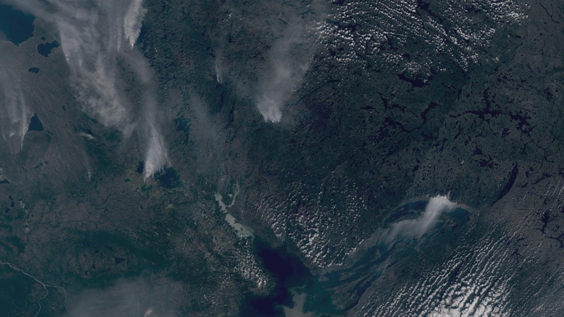
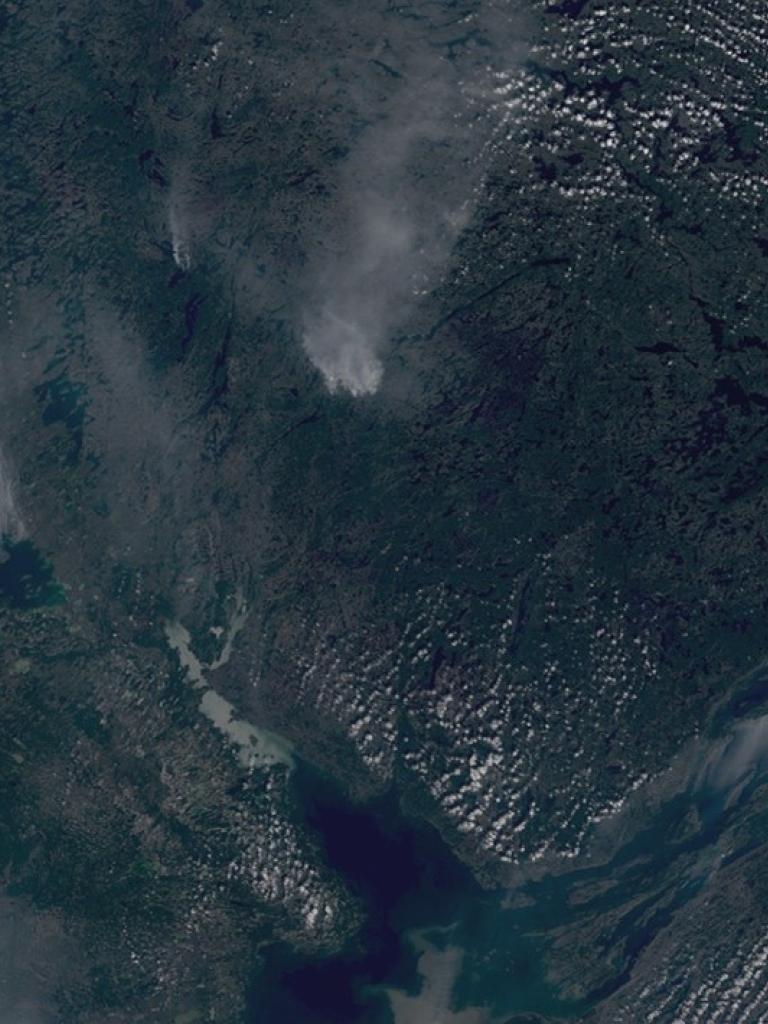
With the growing number of data used for wildfire monitoring, including the new generation of MTG imagers and sounders and the instruments on EPS-SG, the time is right to explore and discuss new possibilities for monitoring wildfires from space.
EUMETSAT is organising a wildfires user workshop at its premises in Darmstadt on 26-28 November 2024, building on the EUMETSAT user days and previous European workshops addressing the use of Earth observations for wildfire monitoring.
The workshop will consist of both presentations and animated discussion sessions:
26 November
From 13:30: keynote presentations on the fire life cycle, existing and upcoming Earth observation programmes and associated services to inform on existing and upcoming Earth observation data relevant for wildfire monitoring (observations and modelling).
27 November
8:30-13:00: presentations and discussions on initiatives related to Earth observation products with contributions from services, user groups, value adders.
14:00-17:30: parallel sessions to discuss priorities and needs on existing and upcoming products from next-generation satellites within the operational value chain, addressing science, applications, data uptake and user experience.
28 November
9:00-11:00: guided discovery of data on case studies.
11:00-15:00: reporting on splinter sessions, identification of needs, definition of way forward, reporting of outcomes.
More information and a preliminary agenda is available here. A final version of the agenda will be released in the first weeks of October.
Due to the number of registrations and the high level of interest, the workshop’s plenary presentations will be streamed online. Interested participants can now register for online attendance here.
The event is organised by EUMETSAT with the support of key institutions and programmes engaged in the field, such as EUMETSAT’s Satellite Application Facilities, the Copernicus Atmospheric Monitoring Service and emergency service (CAMS), the Joint Research Centre EFFIS, national hydrological and meteorological service and the World Meteorological Organization WMO.


