Underwater imaging enhanced with the help of Sentinel-3
Recent case study presents us with a crucial feature of ocean colour satellites.

Ocean colour satellites can be used to measure light attenuation within a water column (an imagined column of water going from the surface of the sea, rivers or lakes to the bottom sediment).
01 November 2023
19 February 2019
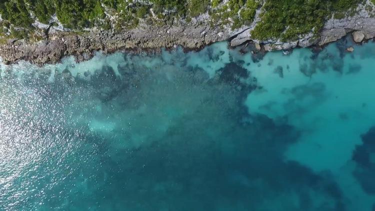
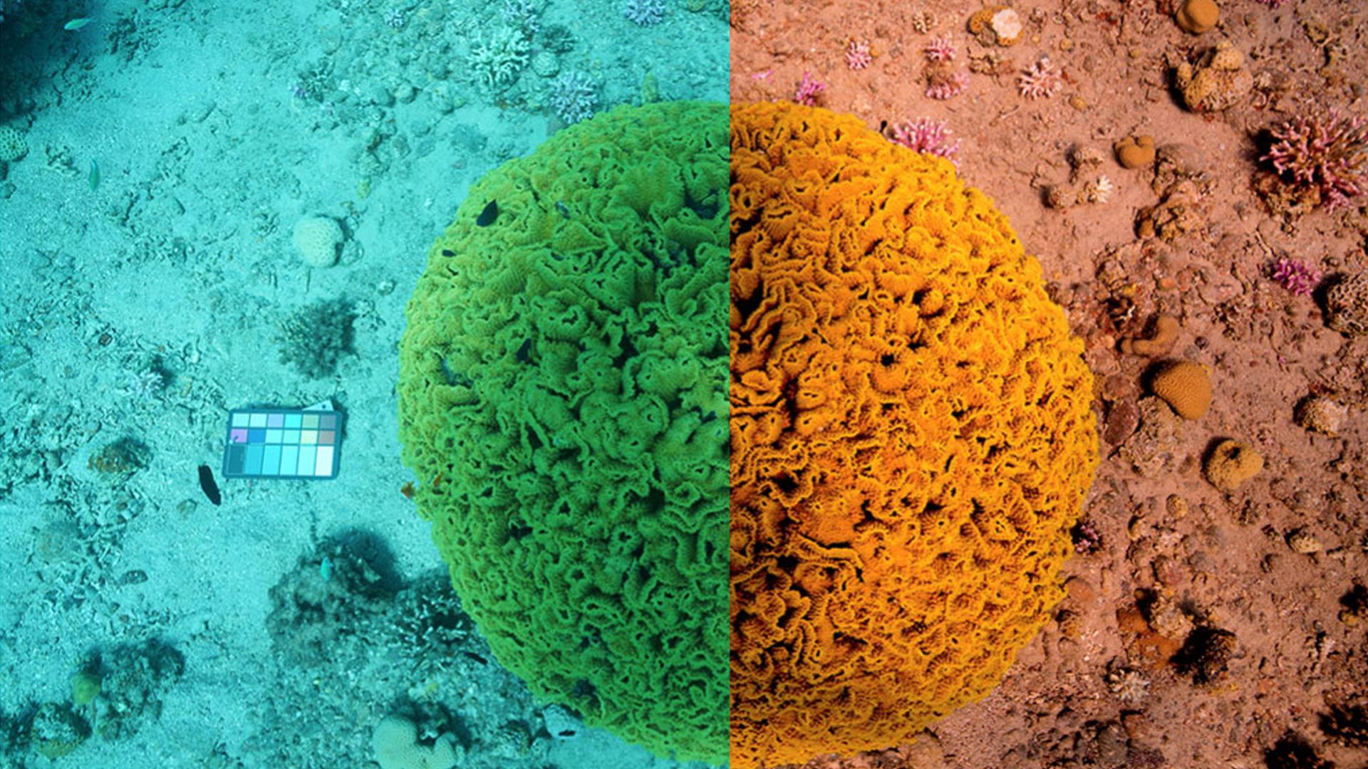
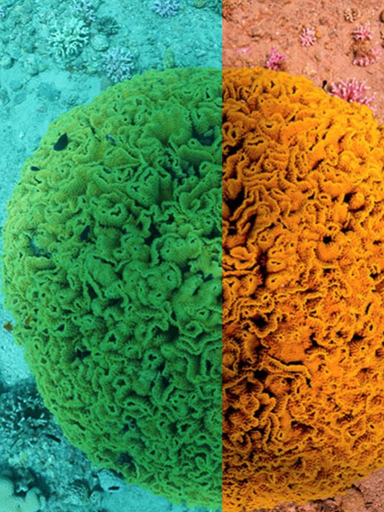
One of the biggest problems in marine imaging is the consistent and accurate reconstruction of lost colours and contrast in underwater pictures.
Water degrades images too severely to allow us to apply the same algorithms to underwater photographs that improve photographs taken on land and existing methods that try to bridge this gap do not do it consistently.

Researchers at the University of Haifa argue that this happens because these methods rely on equations that do not represent accurately how light travels in water. Therefore, they recently proposed a different equation that addresses this problem and are developing a new method to remove the effects of water from underwater photographs.
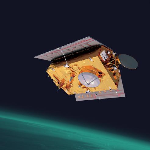
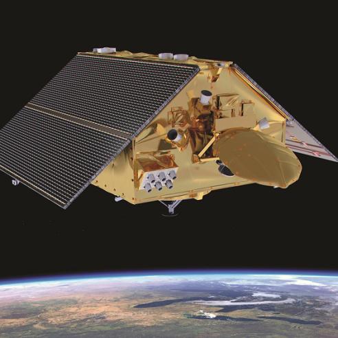
They study coral reefs in the Red Sea of Eilat, Israel and are using freely-available satellite imagery such as the Ocean and Land Colour Instruments (OLCI) Sentinel-3 on board for the estimation of the optical parameters they need to improve the underwater imagery.
For a thorough overview of their concept, head to our case study library.
