Meteosat Third Generation: The eyes on a storm
Meteo-France’s Sylvain Le Moal reflects on how meteorologists are preparing for the data bounty from Meteosat Third Generation satellites


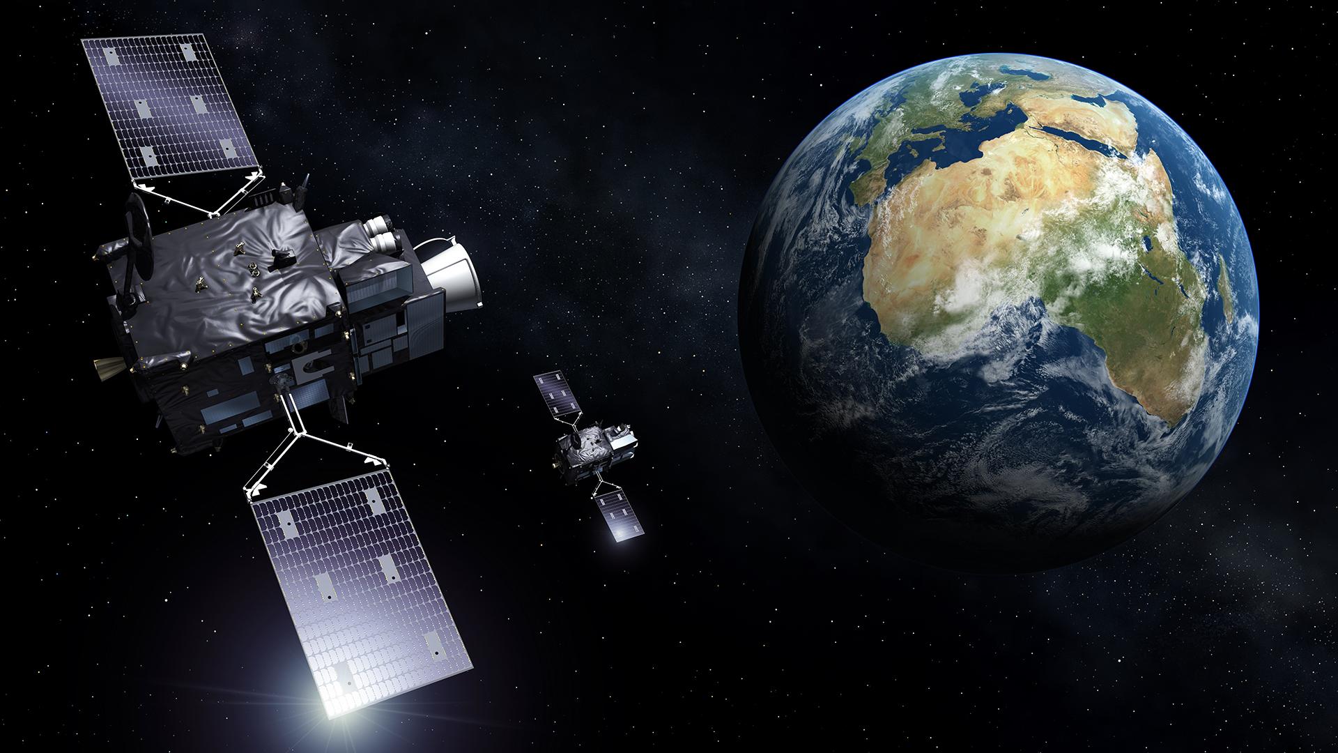
Meteosat Third Generation geostationary satellites will provide observations that can speed storm warnings, drive fire detection, and enhance emergency responses. Météo-France’s Sylvain Le Moal reflects on how meteorologists are preparing for the forthcoming mission

“The first priority for numerical weather prediction models is to know what the state of the atmosphere is right now,” says Le Moal, who is also France’s Meteosat Third Generation User Preparation Project (MTGUP) representative and serves as an MTGUP advisory board member.
“Meteosat Third Generation’s sounder satellite, for instance, will provide regular measurements – up to every 30 minutes – on aspects such as humidity and temperature from the ground to the top of the atmosphere.
“These data will be invaluable for weather forecasting tools such as France’s small-scale numerical prediction model, AROME. The AROME model has been designed to improve forecasts of severe events such as violent and localised storms, fog, and extreme urban heat. Meteosat Third Generation will greatly improve the data we feed into the model.
“Meteosat Third Generations satellites are perfectly positioned to do this, with their geostationary location looking over a full Earth disc that includes both Europe and Africa.”

Preparing for launch
Once in orbit, Meteosat Third Generation satellites will put future weather firmly in focus. But preparing the satellites for their upcoming launches is an endeavour that began some two decades in the past.
“When I arrived at CMS two decades ago, Meteosat Second Generation’s first satellite had just become operational, but planning for the third-generation satellites had already begun in earnest,” Le Moal recalls.
“Since then, member states have taken part in a wide range of initiatives and workshops that have allowed us to account for the needs of end users. Meteorologists, forecasters, researchers, and other professionals who will benefit from these satellite data have been informing the design and development of Meteosat Third Generation every step of the way.”
Meteosat Third Generation is not just providing lots of new information, with upgrades to existing satellite instrumentation, as well as novel instruments such as a new Lightning Imager.
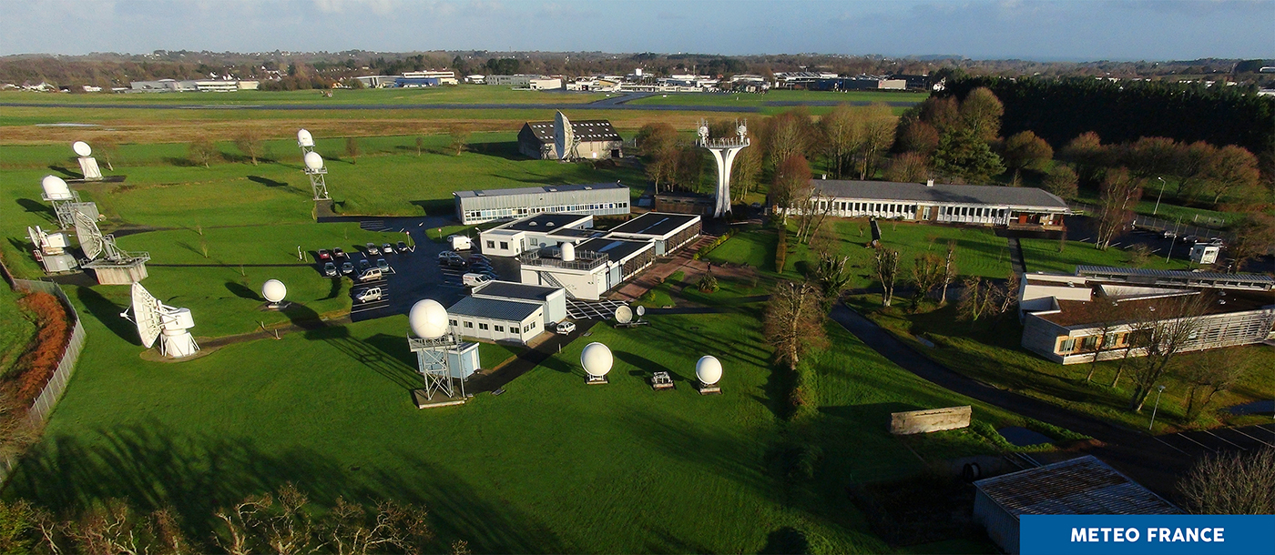
“This will provide data that has never been available over Europe before,” Le Moal says. “To make sure we’re ready, we’ve needed to enhance our telecommunications lines, build antennas, and process algorithms to account for new information types such as lightning data.
“We’ve also been developing specialised training courses so that end users are ready to hit the ground running as soon as Meteosat Third Generation goes live. All of this has been done in collaboration with EUMETSAT and its member states — it’s a truly international endeavour.”
Taste of things to come

Credit: Japan Meteorological Agency
Météo-France already has experience processing data for French overseas territories — such as French Polynesia, French Guiana, Martinique, Guadeloupe, New Caledonia, and elsewhere — from next-generation satellites currently in operation.
These include Japan’s Himawari 8 and NOAA's GOES-R series. Le Moal says this has provided a tantalising taste of what is to come.
“We are expecting a revolutionary improvement in resolution at many different spectral levels,” Le Moal says. “Meteosat Third Generation observations will enrich the information available for forecasters to predict thunderstorms, track sandstorms, and tackle wildfires.
“My team provides assistance to forecasters in analysing everything from snowfall to cyclones. We need to provide information about the size of the eye of the storm, precipitation levels, wind speeds, and much more. Meteosat Third Generation will provide major reinforcements towards this endeavour. I’m sure it’s going to be great.”
Author:
Adam Griswood
