Dust

Image of the week: Saharan dust from space


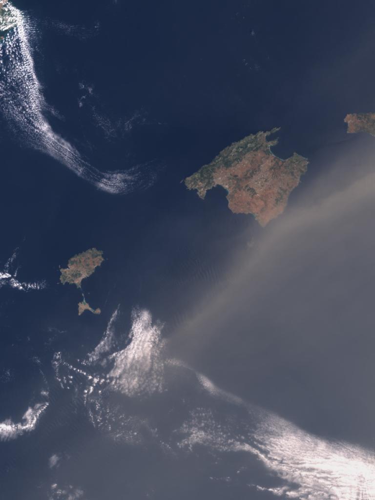
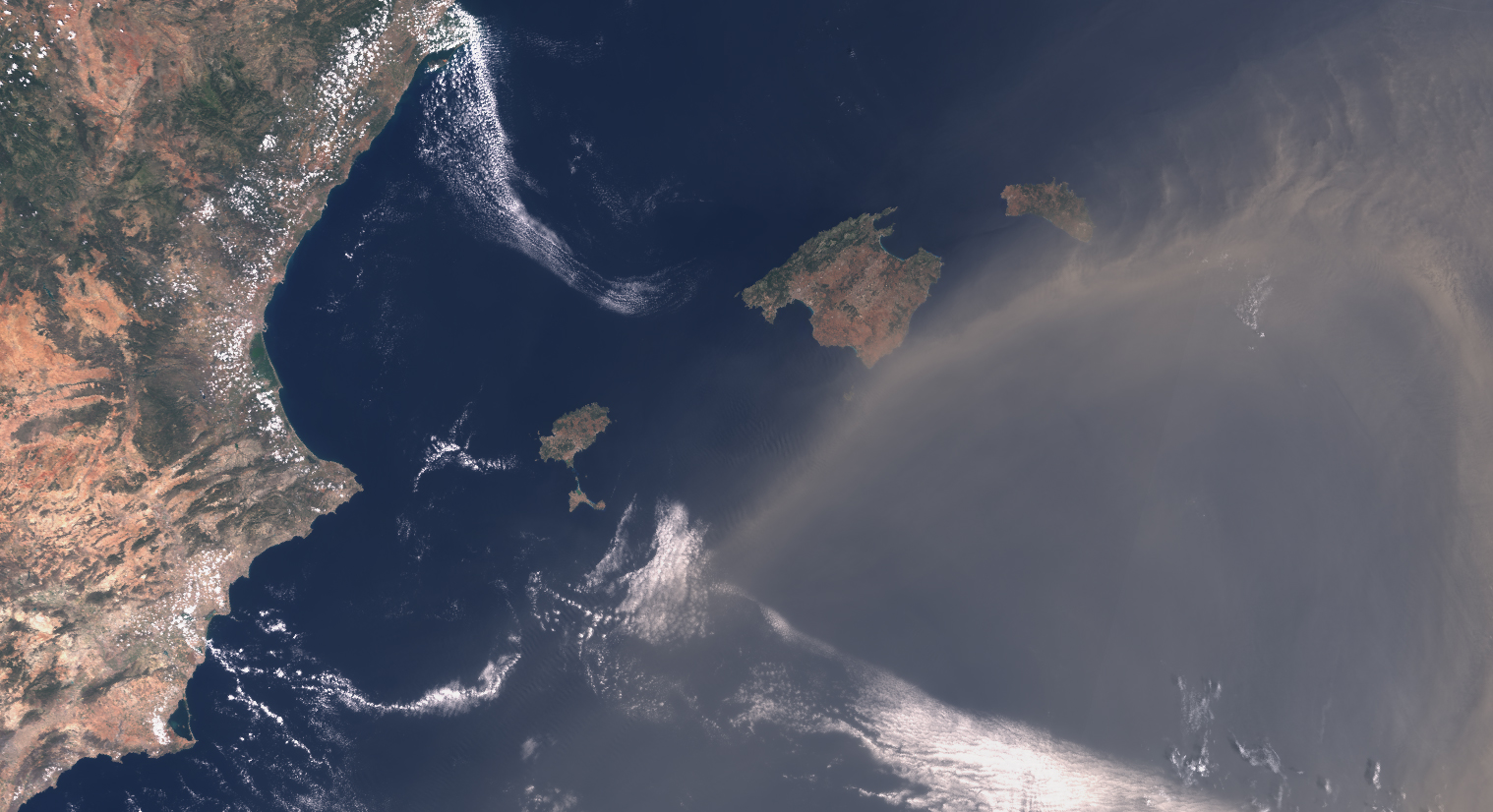
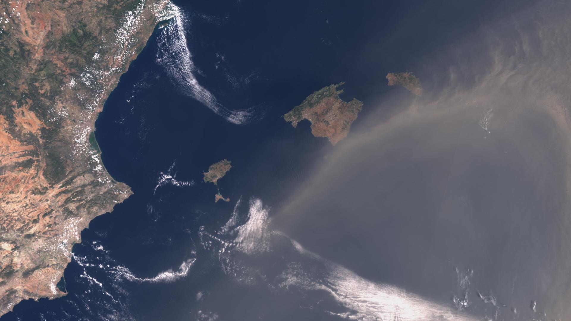
Saharan dust moving over the Mediterranean Sea as seen from the Copernicus Sentinel-3 satellite

Dust
Dust

This week’s image of the week focuses on Saharan dust moving across the Mediterranean Sea and passing over the Balearic Islands.

Last Updated

25 July 2024

Published on

19 June 2024

Saharan dust particles are lifted into the atmosphere by gusts of surface wind and can be transported and deposited thousands of kilometres away. 

When dust travels over populated areas, it can reduce air quality and impact health by causing respiratory problems and cause flight delays. 

The image was captured by one of the two Copernicus Sentinel-3 satellites. 

The Sentinel-3 satellites are in a near-polar, sun-synchronous orbit at an altitude of 815 kilometres, and they are designed to monitor the Earth's oceans, land, ice, and atmosphere. 

Meteosat view

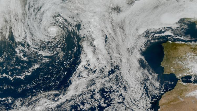
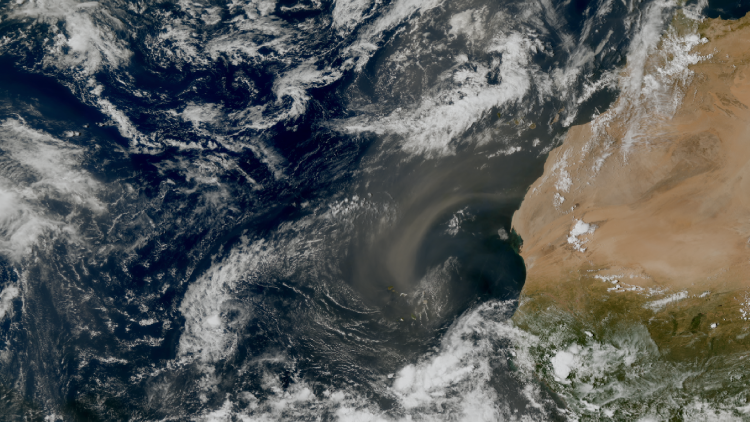
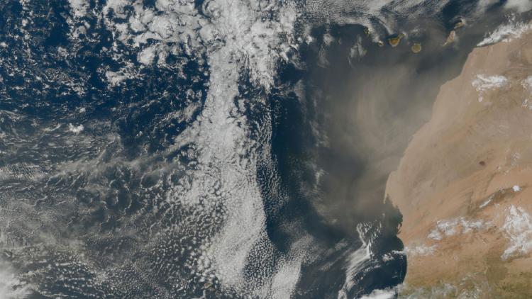
EUMETSAT’s geostationary weather satellite, Meteosat-10, also tracked the dust which appears as a pink colour in the animation below. 

A livestream from this satellite is available on our Earthview page.
Dust storm image

This image was captured by the OLCI instrument onboard Sentinel-3 on 18 June 2024.

EUMETSAT operates the Copernicus Sentinel-3 satellites, in cooperation with ESA, and delivers the marine data on behalf of the European Union.

More info

Visualise Sentinel-3 data with EUMETView or WEkEO

About Meteosat

Access atmospheric data from EUMETSAT User Portal

Learn more about monitoring dust and aerosols from space

Access Copernicus atmosphere service and five-day global forecast plots

WMO Barcelona Dust Regional Center