Image of the week: Tropical Cyclone Ewiniar
Watching our Earth from space

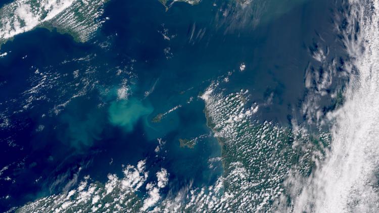
This week’s image of the week is of Tropical Cyclone Ewiniar - also known as Aghon - northeast of the Philippines. The image was captured by the Copernicus Sentinel-3 satellite.
Earth image
This image was captured by the OLCI instrument on one of the Copernicus Sentinel-3 satellites on 26 May 2024.
EUMETSAT operates the Copernicus Sentinel-3 satellites, in cooperation with ESA, and delivers the marine data on behalf of the European Union.
More info
Visualise Sentinel-3 data with EUMETView or WEkEO
Meteosat weather satellites and Earth view livestream
Access weather data from the EUMETSAT User Portal