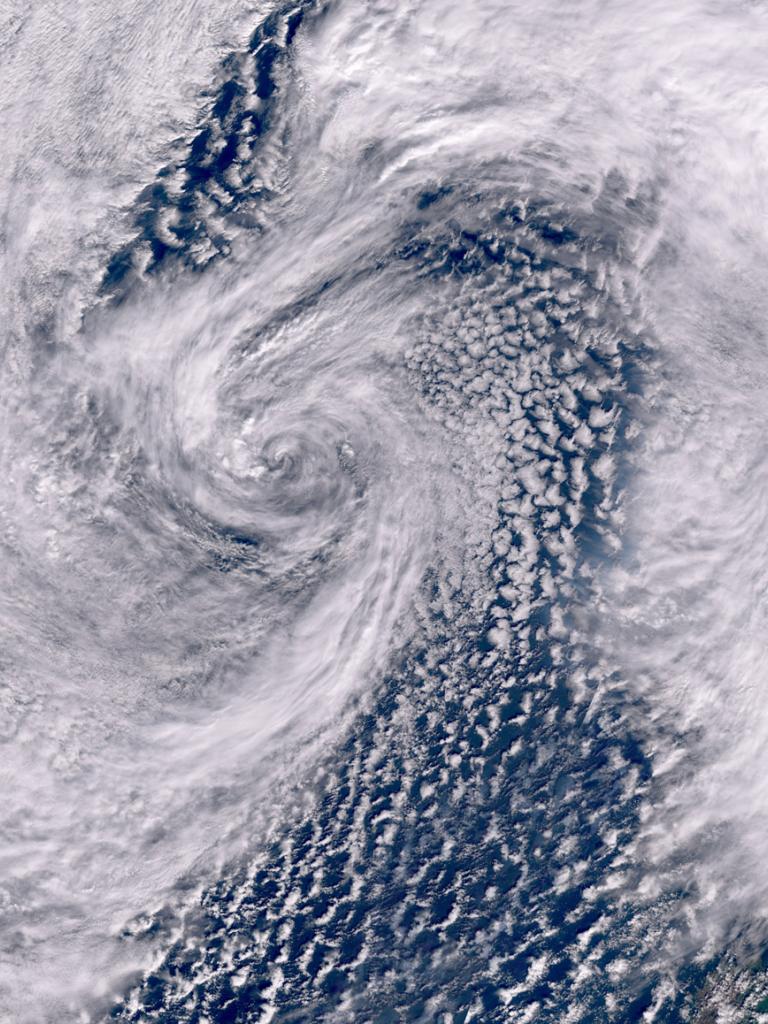
Storm Kathleen

Image of the week: Storm Kathleen


Watching our Earth

Storm Kathleen
Storm Kathleen

This week’s image of the week shows Storm Kathleen which brought strong winds and rain to the UK and Ireland during the weekend of 6-7 April 2024.

Last Updated

14 November 2024

Published on

11 April 2024

Storm Kathleen was a deep area of low pressure that moved towards the UK and Ireland from the southwest, bringing unseasonably strong winds and causing travel and power disruption.

The storm was named by the Irish Meteorological Service (Met Éireann) after two leading Irish scientists: Kathleen “Kay” Antonelli/McNulty, a pioneering computer programmer and Kathleen Lonsdale, a leading crystallographer. 
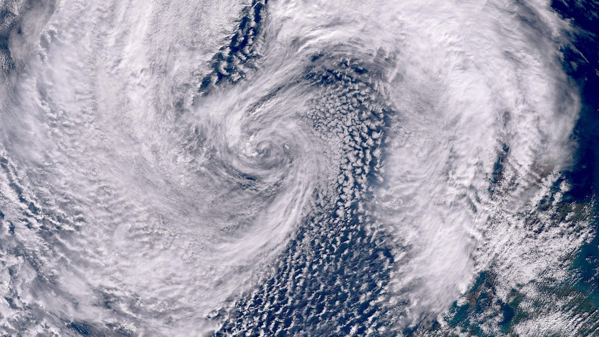
Storm Kathleen

This image was captured by the OLCI instrument onboard Copernicus Sentinel-3 on 7 April 2024.

EUMETSAT operates the Copernicus Sentinel-3 satellites, in cooperation with ESA, and delivers the marine data on behalf of the European Union.

The storm was also tracked by the geostationary Meteosat Second Generation weather satellite - see animation below. 

More info

Visualise Sentinel-3 data with EUMETView or WEkEO

Meteosat weather satellites and Earth view livestream

Access weather data from the EUMETSAT User Portal

More about Storm Kathleen - Met Office (UK) and Met Éireann

More about storm names