Image of the week: Meteosat-12 - watching our weather
Europe’s most advanced weather satellite is now fully operational

Meteosat-12 became fully operational today, and the satellite has been renamed from MTG-I1 to mark the occasion.
It is set to transform weather forecasting across Europe, Africa, and beyond.
What’s onboard?
The two main instruments on board Meteosat-12, the Flexible Combined Imager (FCI) and the Lightning Imager (LI), play a crucial role in enabling weather services to help protect lives and livelihoods by providing high-resolution, accurate data for predicting severe weather events.
Earth image
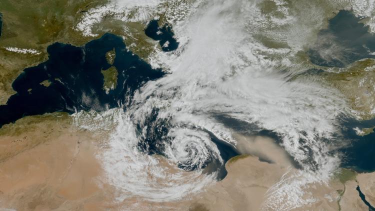
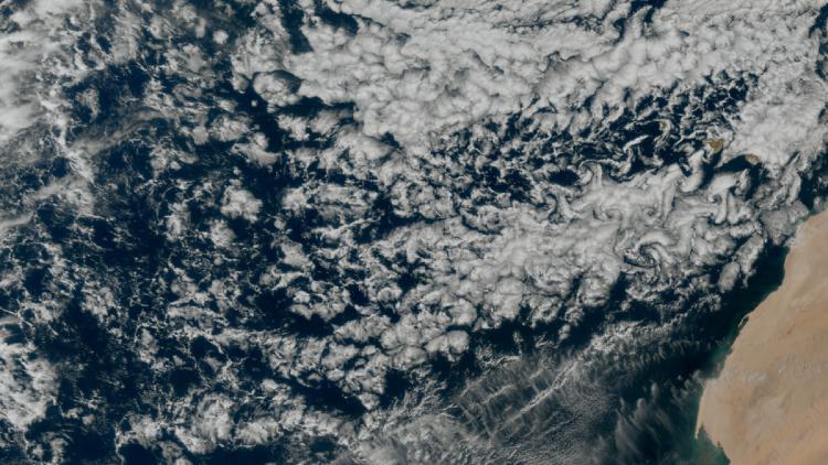
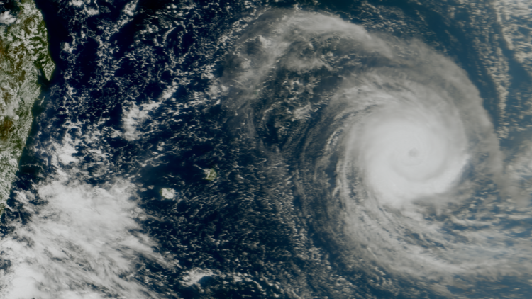
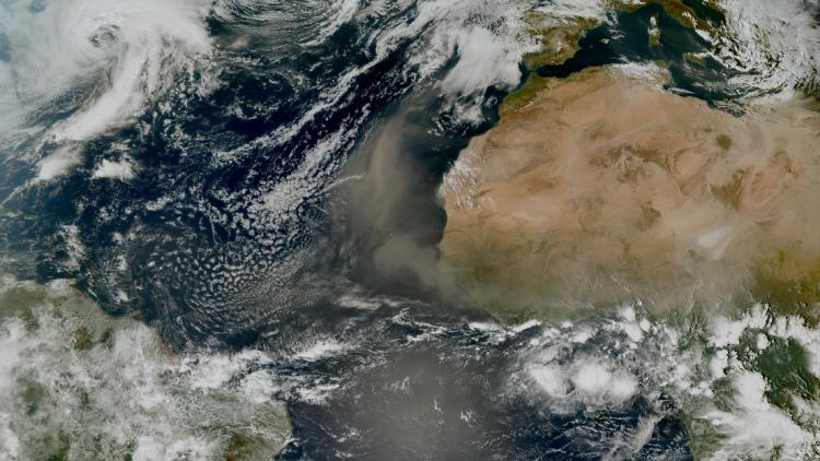
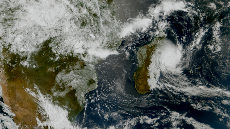
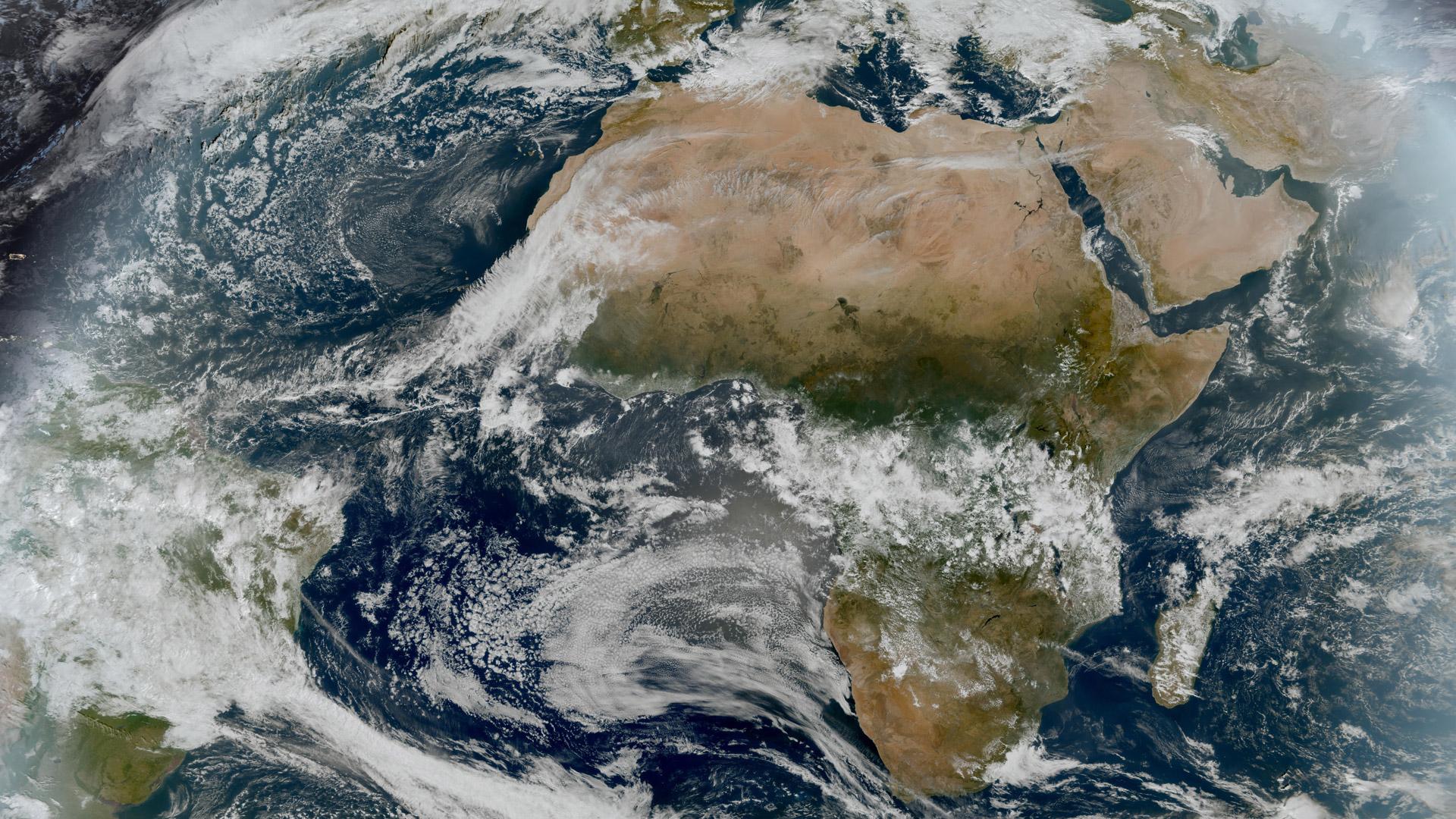
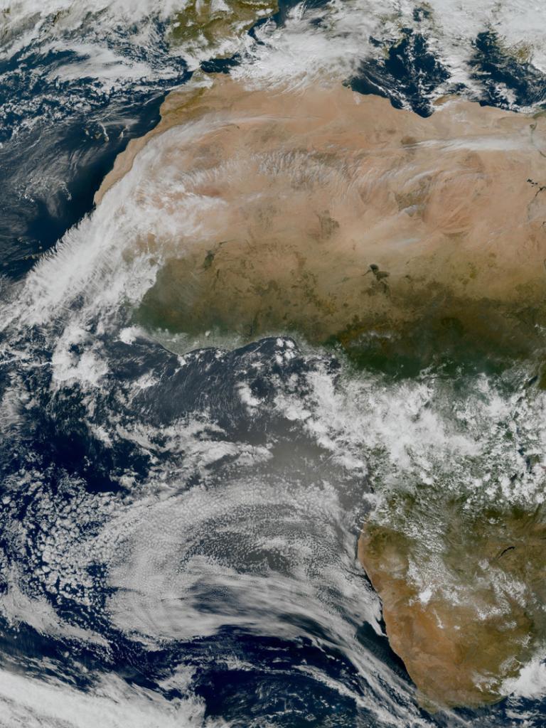
This image was captured by the FCI instrument on EUMETSAT’s Meteosat Third Generation satellite (MTG) on 4 December 2024.
The Meteosat weather satellites provide imagery for the early detection of fast-developing severe weather, weather forecasting and climate monitoring.
See imagery from Meteosat-12 live on our Earth view stream.
More info
Visualise MTG imagery on EUMETView
Meteosat weather satellites and Earth view livestream
Access weather data from the EUMETSAT User Portal

