Image of the week: Keeping an eye on Earth
Watching our Earth from space

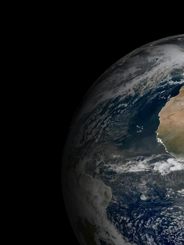
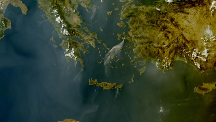
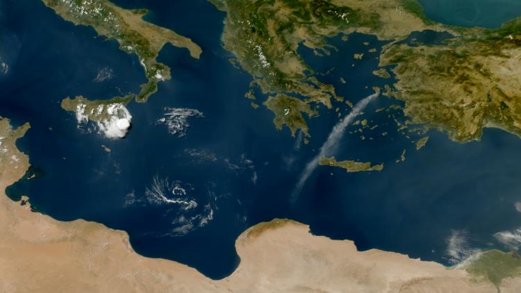
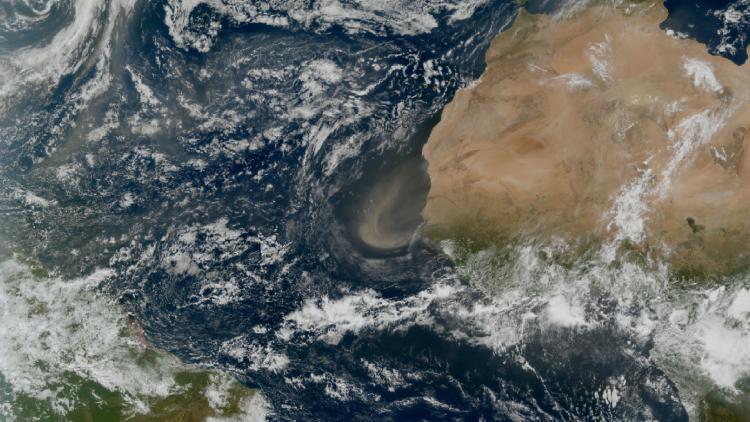
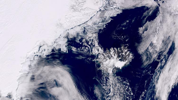
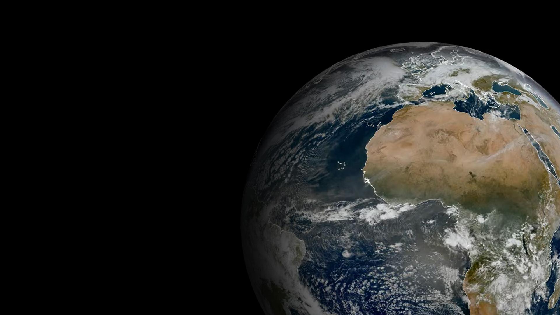
This week’s image of the week is of the Earth as seen from the vantage point of the Meteosat-12 geostationary weather satellite 36,000km above our planet.
The Meteosat weather satellites provide imagery for the early detection of fast-developing severe weather, weather forecasting and climate monitoring.
EUMETSAT’s Meteosat satellites are a key part of the global ring of geostationary weather satellites and observe the Earth over Europe, Africa and the Indian Ocean.
Earth image
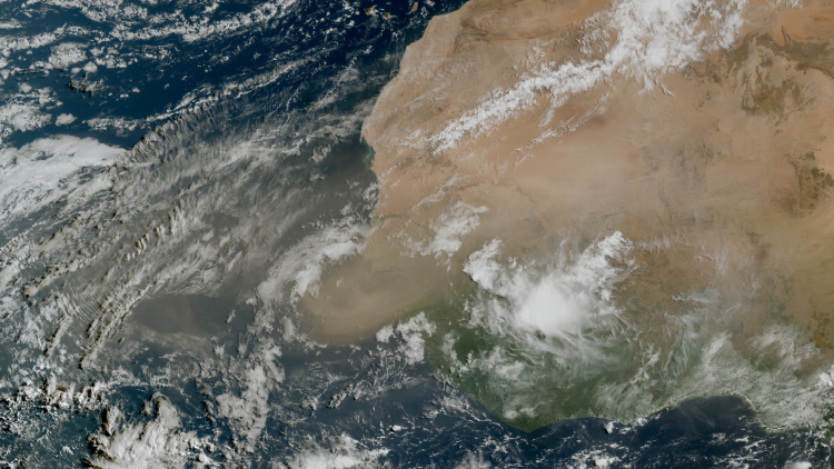
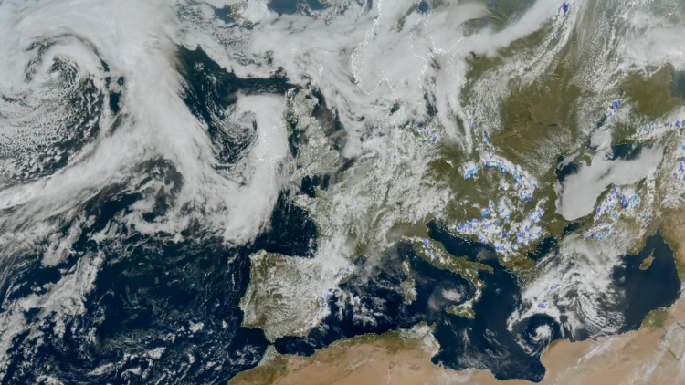
This image was captured by the Flexible Combined Imager (FCI) instrument on board the Meteosat-12 weather satellite on 9 January 2025.
To enable faster detection and earlier warning of high-impact weather events, Meteosat-12’s imager (FCI) collects observations over Europe every 2.5 minutes, and over Europe and Africa every ten minutes.
See imagery from Meteosat-12 live on our Earth view stream.
More info
Visualise Meteosat-12 data with EUMETView
Access weather data from the EUMETSAT User Portal
Meteosat weather satellites and Earth view livestream

