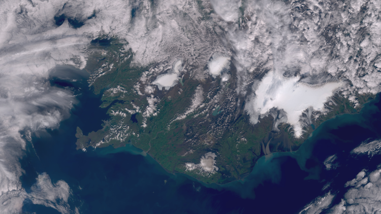
Image of the week: Canadian wildfires
Watching our Earth from space

This week’s image of the week is of the many wildfires that have been affecting Canada’s Northwest Territories.
Fires
This image was captured by the OLCI instrument onboard Sentinel-3 on 27 July 2024.
EUMETSAT operates the Copernicus Sentinel-3 satellites, in cooperation with ESA, and delivers the marine and atmospheric data on behalf of the European Union.
More info
Latest updates on the fires
Visualise wildfires across Canada
Visualise Sentinel-3 data with EUMETView or WEkEO
Access atmospheric data from EUMETSAT User Portal