Training forecasters to use new data
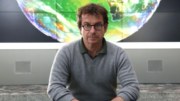
Meet Dr Mark Higgins, one of many behind the Meteosat Third Generation mission


As we gear up for the end-of-the-year launch of the first of the Meteosat Third Generation satellites, we’re shining a spotlight on the experts who are making this mission happen.
“That’s going to be the same for meteorologists working with data from Meteosat Third Generation satellites. Although, in this case, it’s not just that the information is in different places or looks slightly different – what you’ve got is more information. And the question is, ‘How can you integrate it into your working process in a way that leads to better forecasting?’”
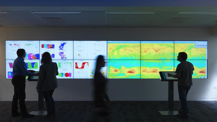
Since no MTG data are available yet, for the first three testbeds on forecasting severe convective storms, held this summer and autumn in Austria, attendees use the next best thing: stand-in data from other satellites, including from the Visible Infrared Imaging Radiometer Suite aboard NASA and NOAA’s polar-orbiting satellites. With these examples, we can see what will be possible with the real data when they start to flow.
Next year, though, meteorologists attending the testbeds will be able to use actual MTG-I1 data. They will have the opportunity to create forecasts that incorporate data from the brand-new Lighting Imager, which will continuously collect images of cloud-to-cloud, cloud-to-ground, and intracloud flashes over Europe, Africa, and parts of the Atlantic Ocean and South America. They will also be able to work with data from the Flexible Combined Imager, which will enable the near-real time monitoring of clouds, water vapour, volcanic ash, and many other critical features over Europe and Africa.
The data from these next-generation Meteosat satellites are used in combination with data from a range of other sources, including surface observations, radar, and computer models. The testbeds help meteorologists see the value in all these data and, most importantly, how they can be used to produce the best forecasts to keep people safe.
The best way to support meteorologists in their learning process, Higgins has found, is to encourage them to learn from experience and reflect – something busy forecasters rarely have time for when predicting real severe storms.
“At the testbeds, we encourage serious geekery,” said Higgins. “We want people to think, ‘OK, let’s try this. Let’s really get under the skin of exactly what’s going on here.’”

Author:
Sarah Puschmann


