WEKEO
EUMETSAT, ECMWF, Mercator Ocean International and the EEA have developed the WEKEO data information and access service (DIAS) to provide fast and easy access to Copernicus data and products.

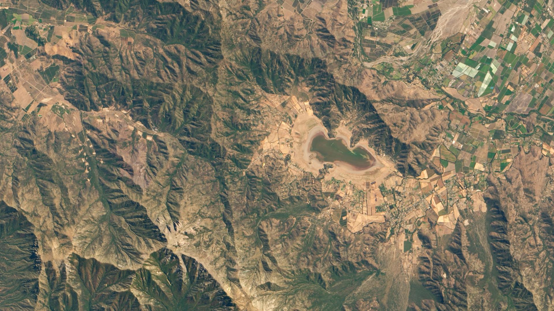
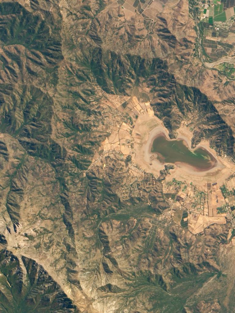
Winning entry in a new computational notebook competition uses Copernicus data to detail the rapid decline of Chile’s Laguna de Aculeo


The European Commission’s Data and Information Access Services (DIAS) initiative delivers five platforms that provide access to Copernicus data and information, alongside processing resources, tools, and other relevant data.
EUMETSAT, ECMWF, the European Environment Agency and Mercator Ocean International, as key organisations in the Copernicus programme, have combined their long-standing experience to develop one of these platforms: the WEkEO Copernicus DIAS service.
WEkEO is the EU's Copernicus DIAS reference service for environmental data, virtual environments for data processing, and skilled user support.
The Jupyter Notebook Competition by WEkEO aimed at developing a community-driven resource of notebooks for Earth observation using Copernicus data.
Jupyter Notebooks are text documents that users can write code in, and then immediately execute to generate answers or visualisations. They are a powerful tool for interactively developing and presenting data science projects.
Diana Zambelloni, an Italian architect, was studying in Santiago as part of an Erasmus+ exchange programme when the story of the lake’s disappearance made national and international headlines.
“Many people were very distressed about the disappearance of Laguna de Aculeo,” recalls Zambelloni, who has since taken up a position in the Laboratory of Construction and Architecture at the École polytechnique fédérale de Lausanne (EPFL) in Switzerland. “Despite the event coinciding with a major drought, the reasons for its demise were not well understood.”
Zambelloni wanted to apply her technical skills to shine light on the lake’s desertification. And when her friends Carlos Vivar Ríos – a bioinformatician and data scientist – and Colas Droin – a computational physicist – invited her to explore ideas for a Copernicus Jupyter Notebook Competition by WEkEO, the team decided to develop a data-driven approach, using observations taken by Copernicus Sentinel-2 satellites.


Their project, called ‘Portrait of a Lake’s Death’, impressed judges with its depth, narrative, and replicability. It was ultimately selected as the winner of the competition, which was organised by EUMETSAT, ECMWF, Mercator Ocean International, and the European Environment Agency.
“Earth observation data is a unique source of information, and can be combined with other social, economic, or environmental datasets to provide insights into environmental change and its causes,” Zambelloni says. “When you collaborate with people outside of your field it can help improve both your way of thinking and your research.”
Jupyter notebooks feature multiple programming languages and enable code, computational analysis, data, and multimedia resources to be presented in a single document. They are widely used in biological and health sciences for writing papers, technical planning, training, and more.

The Jupyter Notebook Competition by WEkEO aimed at developing a community-driven resource of notebooks for Earth observation using Copernicus data. Amongst the 36 entries were projects focused on observations of water pollution, glacier decline, and solar energy.
“Copernicus Sentinel-2 satellites are a powerful resource that provide high resolution Earth images in 13 spectral bands, including visible, near-infrared, and short-wave infrared, taken at regular intervals” explains Vivar Ríos, who works as a freelance consultant in Lausanne.
“We developed a script that segmented the area of Laguna de Aculeo in images taken by the satellite during the period 2016-2022. The multiple datasets enabled us to account for aspects such as seasonal ups and downs in the water level and to track the evolution of the lake over time, right up to the moment when it dried out entirely.”
In their Jupyter notebook, the team outline the approaches that they took to compile data and segment and measure the total lake area in the images. They then selected images with sufficient quality to enable reliable measurements. The narrative of the document provides reasoning behind preprocessing decisions and the iterative steps that the team took to make best use of the data available.
“Publicly available satellite data present an excellent opportunity to monitor environmental changes – all we needed was a normal computer,” says Vivar Ríos.
“We hope that our project will inspire people in the Earth observation community and beyond to help answer outstanding questions. These include technical challenges but also important research problems: what roles have agricultural practices and urbanisation played in the lake’s disappearance? Is the same thing happening to other water bodies nearby? What are the contributions of drought and climate change?
“Environmental changes are having profound impacts on water bodies around the world, including Chile. While it might be too late to save the Laguna de Aculeo, raising awareness of the opportunities provided by Earth observation data could help to increase their use in identifying and addressing environmental problems elsewhere.”
Access the Portrait of a lake’s death notebook
Access other notebooks from the competition
Adam Gristwood