Keeping the data flowing
Meet Rocío Martín Pardo, one of many behind the Meteosat Third Generation mission

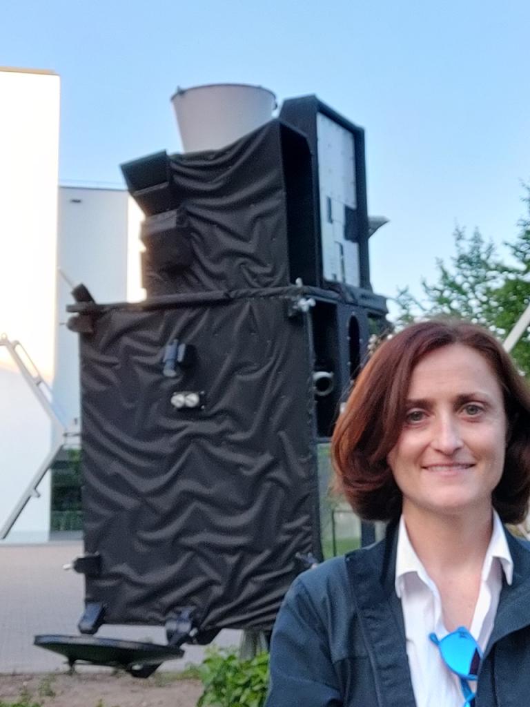
As we gear up for the end-of-the-year launch of the first of the Meteosat Third Generation satellites, we’re shining a spotlight on the experts who are making this mission happen.
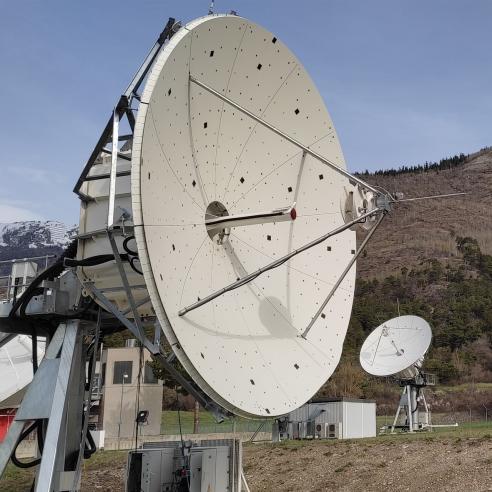
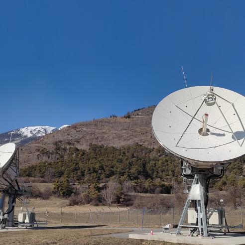
She also oversees another crucial component of the ground station, the antennas in Fucino, Italy and Cheia, Romania that receive data about the health of the satellites and send them along to the control centre. There, flight control teams send commands back through those same stations in order to adjust the satellites’ flight path and instruments as needed.
She likens this to the remote controller for a drone.
“We are like the joystick that, by pivoting, tells the spacecraft to move up or down,” Pardo said.
“In addition, we also receive important information that lets us know that the satellite is in good shape through the monitoring of thousands of parameters such as battery charge status, signal strength, and temperature.”

Certain design features in the ground stations ensure that the data flow with as little interruption as possible. Two of the ground stations are located on opposite sides of the Wasenhorn, a more than 3,000 metre-high mountain in the Alps, increasing the likelihood that when heavy rain or a thunderstorm affects one ground station, the other will remain unaffected. And if an antenna breaks, there are a number of other antennas – both at the same site or at another site – that can take over.
Despite the robustness of the ground segment, sometimes the flow of data can be impeded, requiring Pardo to enter detective-mode in order to identify the issue. Her biggest challenge is uncovering these more mysterious causes of interference in the data.
For example, in 2018 there was interference in the data transmitted by EUMETSAT Polar System satellites to a ground station on Spitsbergen, a Norwegian island in the Arctic Ocean. Thanks to the investigation by Pardo’s team, in collaboration with an on-site team at the station, they discovered that the same frequency band being used to transmit data from the satellite to the ground station was also being used by a fishing boat to track the boat’s location. This meant that when one of the ground station’s antennas was pointed in the direction of the boat, it mistook the boat for the satellite.
“Now that the station knows about that problem, they just tell us when there is fishing boat interference,” she said. “So we know that if we point our antenna there, we will have a problem.
“Once we know about a problem, the objective is to fix the root cause. But this isn’t always possible. When it’s not, we figure out how to work with the problem and adapt to it in the best possible way.”
Author:
Sarah Puschmann
