A fix for the Meteosat Third Generation – Imager 1 satellite
A new approach for calibrating an instrument on board the satellite saves the day

When a hardware problem prevented the Flexible Combined Imager from being calibrated as expected, experts at EUMETSAT implemented an ingenious calibration approach.
18 February 2025
01 October 2024
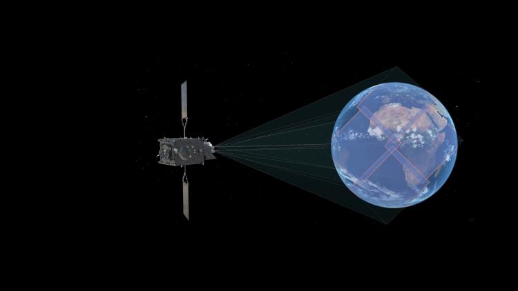
On 23 May 2024, the Flexible Combined Imager, one of the instruments on board the Meteosat Third Generation – Imager 1 satellite, resumed delivering data following months of interrupted service. Dr Bojan Bojkov, Head of EUMETSAT’s Remote Sensing and Products Division, explains the issue that caused the interruption and reflects on the new calibration system that has been implemented, which enables users to receive the best quality products incorporating observations from the Flexible Combined Imager.
What happened to the Flexible Combined Imager on board the Meteosat Third Generation – Imager 1 (MTG-I1) satellite?
Bojkov: There is an issue with the Flexible Combined Imager (FCI) calibration system, resulting in the unavailability of the on board calibration. Because of this, we lost the usual way we calibrate, or monitor the health of, instruments on board. Luckily, we were already developing a new software system for monitoring and calibrating satellite instruments, so we were able to start using this for the Flexible Combined Imager.

Credit: ESA
What is calibration and why do satellite instruments need to be calibrated?
Calibration is the process of defining a system’s response to known and controlled signal inputs. It is done before the satellite is launched to get a baseline for how each instrument performs. During launch, a rocket and the satellite it carries are subject to some pretty strong forces – six to 12 times Earth’s gravity. So, although satellite instruments are designed to withstand such forces, it is still possible that certain components of the instruments could undergo changes during launch. Once the satellite is in its target orbit in space, we use a variety of techniques to check the performance of each instrument. This is one of the important steps during the commissioning of a satellite, which is the phase that MTG-I1 is currently in. In its routine phase, a space-borne instrument needs to be regularly calibrated to compensate for changes in its performance due to the harsh in-orbit conditions.
If it were functioning properly, how would the calibration and obturation mechanism on the Flexible Combined Imager work?
The calibration and obturation mechanism that we originally planned to use – the part of the system impacted by the malfunction – is like a shutter that blocks the light path or guides the light path to the two reference elements on the satellite. One of them is a black body – a totally black surface where when you look at it in the infrared part of the spectrum you know, theoretically, what value you should get. For the visible part of the spectrum, you can use the other reference element, a metallic density filter. This, essentially, dims the sunlight in a similar way that sunglasses do. Both reference elements make it possible to calibrate and monitor the health of a sensor – if you see any drift in your measurements, you know to attribute that not to a real signal the instrument is detecting but rather to the instrument itself slowly changing its response.
What is the new calibration system and how does it work?
The new system, the Mission Integrated Calibration Monitoring and Inter-Calibration System (MICMICS), is a kind of multi-mission toolbox that makes it possible to access and combine all calibration tools for in-orbit satellites.
Since we can’t use the reference elements on board the satellite to calibrate the Flexible Combined Imager, we need other ways to calibrate the instrument using natural targets that provide known values. So, the solution is to use external targets instead.
For example, we measure targets on Earth that are simultaneously acquired by other instruments under similar geometric conditions. This allows us to effectively transfer the excellent calibration of the EUMETSAT Infrared Atmospheric Sounding Interferometer (IASI) hyperspectral infrared sounders on board the EUMETSAT Polar System satellites, recognised as the global reference satellite instruments for space-borne infrared measurements, to the FCI infrared channels.
MICMICS enables us to use many different external targets. For example, we use desert targets, which are very stable in time and their surface properties are well known. This allows us to establish a reference signal for these targets as seen from space, and to calibrate and monitor the FCI reflective channels.
We also use many other targets, such as bright clouds and the moon, and compare those to observations from other satellites. Each of these techniques have strengths and weaknesses, so when we combine them all together, we get a better picture of how our instruments behave.

Credit: Valerie Barthmann
Why is MICMICS so effective?
I think of MICMICS as a software laboratory. Its strength is that it makes it very easy to put different methods into place and double check or adjust certain instrument parameters. We can say, let's look at the desert first. What does the drift look like? Do we get the same kind of drift if we do this with another set of satellites? How do the results using a similar instrument on a different satellite compare? Does the use of alternative targets and methods provide consistent results?
MICMICS allows us to apply certain specifications and see their impact. For example, we can look at every measurement that has been taken within five minutes of each other. Then if we loosen the criteria and say, let’s look at every 15 minutes instead, do we see changes? It enables us to be confident that everything is stable, or if needed, to correct things and improve the calibration so that we can provide better products.
How did you feel when you found out MICMICS worked as a solution to the problem with the Flexible Combined Imager?
When we received the news that we could use MICMICS to calibrate the Flexible Combined Imager, it was a big relief – and not just because of this mission. We started some of the scientific developments for what was to become MICMICS nearly 15 years ago, along with colleagues at the French national space agency, CNES, the Japan Meteorological Agency, JMA, and the National Oceanic and Atmospheric Administration, NOAA, in the US. Then we started consolidating the various in-house developments in 2017 and implementing a multi-mission approach with the idea of being fully ready for the MTG-I1 satellite, which we were able to do. So, we were also happy because this showed that all our efforts to develop this calibration toolbox over the past decade and a half were worth it.
How will this affect the timing of the release of data in the future?
Thanks to MICMICS, we will still be able to deliver good quality data from the FCI to our users. Unfortunately, though, this unforeseen hardware issue has caused significant delays in the release of the Flexible Combined Imager data to our users because of the many steps it has taken to solve this problem.
First, the problem had to be identified, diagnosed, and thoroughly assessed by the European Space Agency and industry. Second, the impact of the issue on the instrument operations had to be determined and the impact on the data quality ascertained by EUMETSAT scientists. Third, possible solutions and mitigation approaches had to be identified and tested – MICMICS being the one that proved to be the most effective.
Fortunately, because of MICMICS, we were able to get data flowing to power users for independent evaluation starting in July and we will start delivering data to the public very soon. We anticipate that the FCI radiance Level-1 products will be fully validated before the end of the year and appreciate everyone’s understanding in the meantime.
Author:
Sarah Puschmann