This is the culmination of more than 20 years of hard work in science technology and engineering.
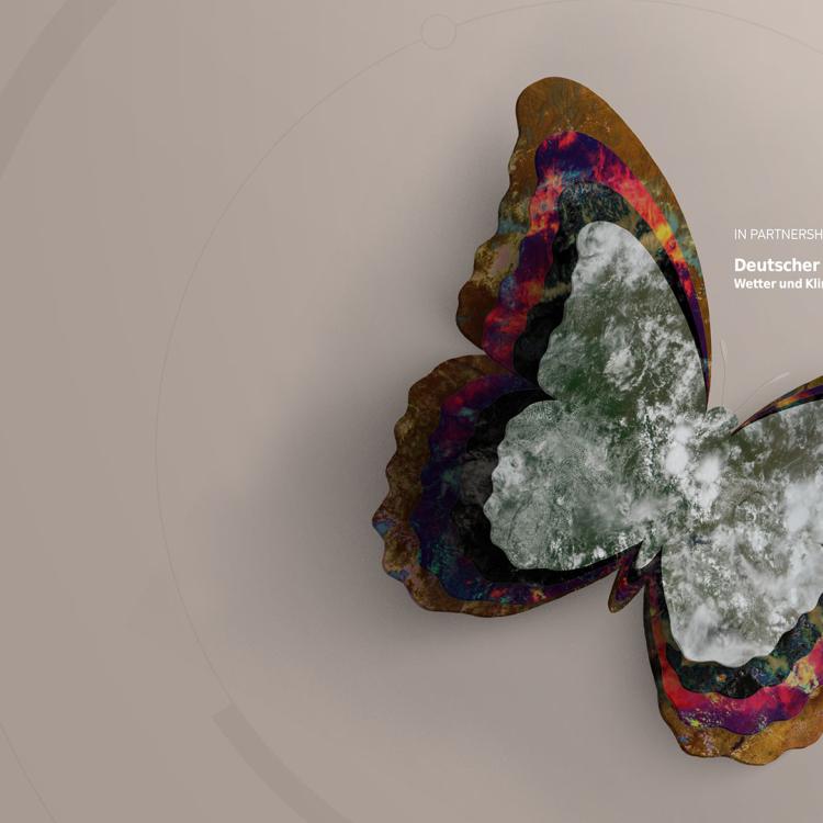
The instrument, flown on Meteosat Third Generation – Imager 1 (MTG-I1), produces more frequent, higher-resolution images than the imager on the previous-generation Meteosat geostationary satellites.
The data disseminated to meteorological services in EUMETSAT’s member states and other users is currently pre-operational. That means the quality of the data is approaching operational status data but with some remaining limitations on quality and stability.
“The Flexible Combined Imager experienced a serious anomaly during the commissioning phase of MTG-I1, which has delayed the release of the data longer than we had anticipated,” EUMETSAT Director-General Phil Evans said.
“A lot of hard work and ingenuity went into finding a solution.
“We are now confident of achieving the quality and utility of the data from this instrument, which will make a significant impact on weather forecasting accuracy in Europe and Africa.”
The Flexible Combined Imager produces images of Europe and Africa in 16 channels every 10 minutes. The SEVIRI instrument on Meteosat Second Generation satellites produces an image of the same view in 12 channels every 15 minutes.
Crucially, images from the Flexible Combined Imager reveal more detail than is possible from SEVIRI, which, combined with their greater frequency, will enable forecasters to more accurately and rapidly detect and predict severe weather events.
At this stage, “level 1” data are being disseminated. Level 1 data are the calibrated radiances sensed by the instrument, geolocated on a reference grid, and directly usable by national meteorological and hydrological services.
MTG-I1 is operated by EUMETSAT from its headquarters in Darmstadt, Germany. The satellite was procured by ESA to European industry, fulfilling the requirements established by EUMETSAT in consultation with the meteorological services in its member states.
Find out more about how to access the pre-operational imagery data in our User Portal
EUMETSAT to hold FCI training course
EUMETSAT will hold a short, online course, “MTG-I1 Flexible Combined Imager (FCI): background, data and applications overview”, on 8 October 2024 at 08:00 UTC.
The two-hour event will offer insight into the FCI instrument, acquisition of data, products and applications. Based on real examples, participants will be able to see how FCI images are applied in the analysis of various weather and surface features. If you are interested, please register here.