30 January 2023
25 May 2018
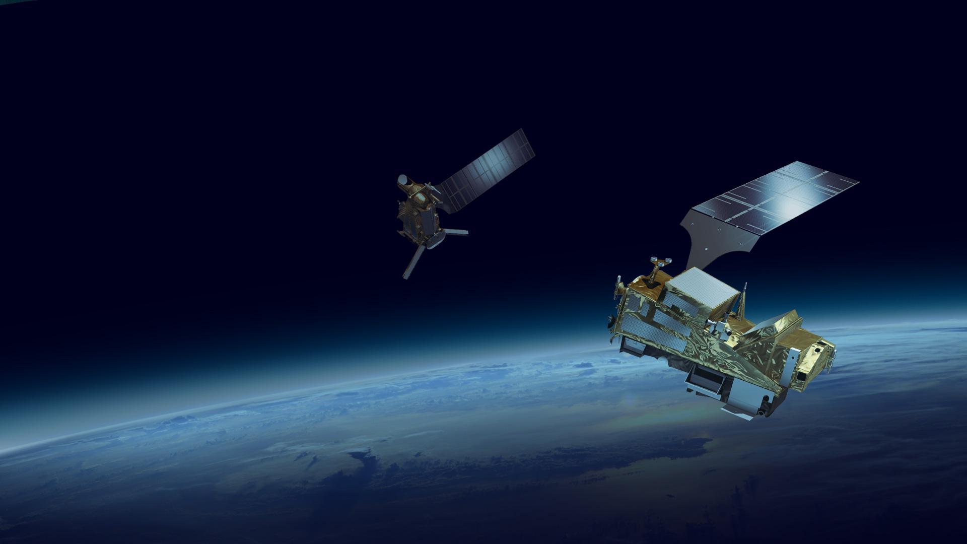
The EPS-SG System is to provide global observations of the atmosphere, ocean and land surfaces, using satellite based sensors from the Low-Earth Orbit in support of operational meteorology, environmental forecasting and climate monitoring services. In order to fulfil the mission objectives, EPS-SG will provide sustained capabilities to acquire, process, and distribute environmental data to down-stream application users and second tier processing centres. Data covering a broad spectral range from ultra-violet to the microwave domain is required, covering extensive areas (global and regional), and within a variety of different time scales to continue and enhance the services offered by the EPS system, beyond 2021.
The METimage is a cross-purpose medium resolution, multi-spectral optical imager serving operational meteorology (Numerical Weather Prediction and nowcasting), oceanography and climate applications. The primary objective is to provide high-quality imagery on:
- High horizontal resolution cloud products including micro-physical analysis
- Aerosol products
- Atmospheric water-vapour gross profiles at high horizontal resolution
- Polar atmospheric motion vectors
- Vegetation
- Snow coverage
- Sea, ice and land surface temperature, sea ice coverage
The instrument will be a passive cross-track scanning imaging spectro-radiometer measuring reflected solar and emitted terrestrial radiation in the visible to infrared spectral domain between 0.443 and 13.345 µm with a moderate spatial sampling of 0.5 km at nadir over a swath width of 2800 km. Derived from a whisk-broom scanner principle, the instrument records a small number of image lines simultaneously during each scan across-track. By proper selection of rotation frequency, the scanner produces a gap-free scan pattern on ground. Output is an image sampled at discrete locations, the sampling within each line is performed at constant scan angle increments.
The EPS-SG Multi-Viewing Multi-Channel Multi-Polarisation Imaging Mission (3MI) is a push-broom radiometer dedicated to aerosol characterisation for air quality, climate monitoring and atmospheric chemistry. The purpose of the 3MI is to reconstruct a multi-spectral (from 0.41 to 2.13 µm), multi-polarisation (-60°, 0°, and +60°), and multi-angular (10 to 14 views) image of the Earth top of atmosphere (TOA) outgoing radiance to accurately measure the aerosol load and to characterise the atmospheric microphysical properties. The 3MI spatial sampling is 4 km at nadir.
Although aerosol characterisation is the primary application, 3MI will further support observation of cloud microphysical properties, water vapour, Earth radiation budget, and land-surface characteristics all of which will benefit from the enhanced directional and polarisation measurements.
The 3MI also contributes to artefact correction of other EPS-SG sensors. Some aerosol parameters can be derived from the METimage, Sentinel-5, and IASI-NG instruments, however the anisotropy and polarisation effects induced by scattering from aerosols and cirrus clouds requires multi-viewing and multi-polarisation capabilities in order to quantify these effects. 3MI will further benefit from this synergy with the other EPS-SG instruments
Background
Among the various activities related to EPS-SG, the timely and efficient processing of the data down-linked from the orbiting platforms is of outstanding importance to the primary users. To this end, it is necessary to simulate realistic data from the observation missions to be embarked upon for EPS-SG.
Given the EPS-SG orbit and instrument viewing geometries, top of the atmosphere (TOA) radiances for the full range of representative atmospheric and surface conditions have been generated for each instrument. The simulated TOA radiances have been generated at level 1b, equivalent to the calibrated and geolocated measurements made by each instrument.
Objectives
Given the Metop-SG orbit and instrument viewing geometries, TOA radiances for the full range of representative atmospheric and surface conditions have been simulated for METimage and 3MI. The simulated TOA radiances have been generated at level 1b, equivalent to the calibrated and geolocated radiance measurements made by each instrument.
Orbit propagation has been used to simulate the sample positions and atmospheric and surface variables obtained from e.g. NWP analyses and other sources such as surface reflectivity/emissivity atlases (e.g. BRDFs) and digital elevation models. The variable surface and atmosphere parameters constitute the input to the radiative transfer simulations of the radiances. In addition, instrument characteristics such as spectral response functions, and suite of viewing angles have served as quasi constant inputs to the RT simulations.
Overview
Orbits covering Africa and Europe in the winter and summer time have been selected in order to cover the seasonal range of the geophysical products to be observed by both instruments. Of particular importance are observations of:
- Different kind of cloud properties (e.g. Deep Convective Clouds, Polar Stratospheric Cloud, cirrus, fractional cloud, cloud over snow, multi-layer cloud).
- Different kind of aerosols properties (e.g. sand/dust storm, biomass burning.
- Different kind of surface properties (Land, desert, ocean, snow, photosynthetic activity).
In order to capture scenes of these kinds, the test data have been based on the following summer and winter orbits of the AVHRR (EPS):
AVHR_xxx_1B_M02_20070912084303Z_20070912102203Z_N_O_20070912102424Z
AVHR_xxx_1B_M02_20070912102203Z_20070912120403Z_N_O_20070912120304Z
AVHR_xxx_1B_M02_20080223084603Z_20080223102803Z_N_O_20080223102809Z


