
26 February 2026
19 March 2020
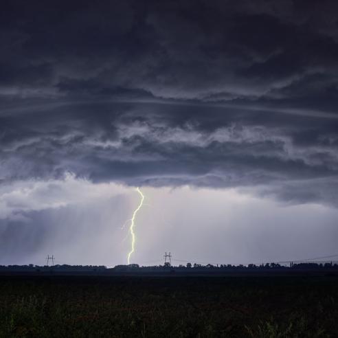
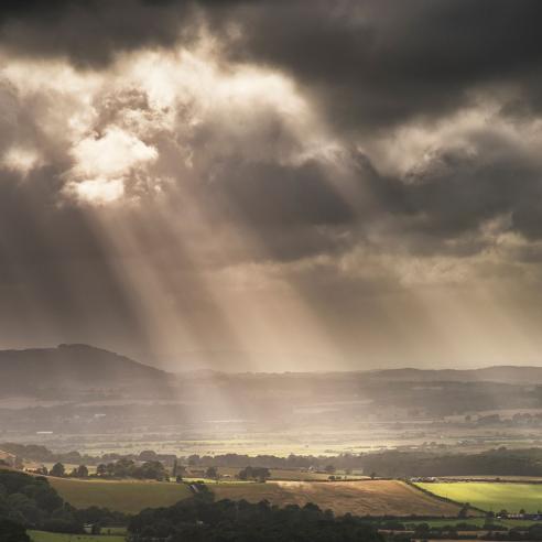
Reliable weather forecasts are key to our safety and our economy. To help save lives and reduce damage to property and infrastructure from storms, heavy precipitation, heat waves and tropical cyclones – as well as other hazards influenced by weather, like dispersion of atmospheric or marine pollution – European citizens and decision-makers require timely warnings from their national meteorological services.
More than one-third of the European economy is weather sensitive and requires accurate forecasts for business purposes. This is particularly true for energy, transportation, construction, agriculture, tourism and utilities. Energy providers, for example, rely on weather forecasts to anticipate power demand and adapt their production during hot and cold spells.
Forecasts of fog, snow, high winds, thunderstorms and the dispersion of ash particles are critical for aviation and air-traffic management, and by extension to the global economy.

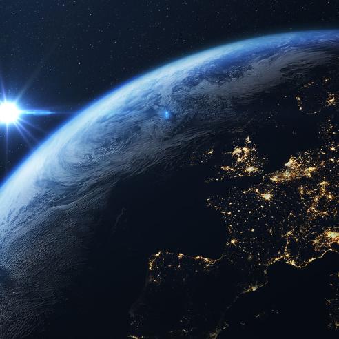
The data from meteorological satellites are indispensible for forecasting the weather, and contributing to early warnings and other information that supports our continued social and economic wellbeing.
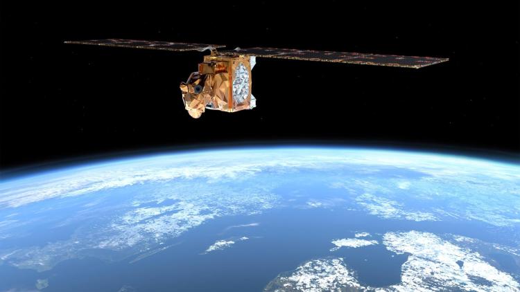
Meteosat satellites support Nowcasting
To issue warnings about the most rapidly developing weather phenomena, forecasters execute a challenging task called "nowcasting". Nowcasting is about real-time detection of rapidly developing, high-impact weather events and predicting their evolution a few hours in advance.
Nowcasting requires a constant supply of frequent, high-quality images of the atmosphere, captured and delivered in real time. Geostationary weather satellites like Meteosat have the unique capability to deliver repetitive real-time imagery from 36,000 km above the Earth's surface.
The Meteosat Second Generation system (MSG) provides an image of the full disc, Europe and Africa, every 15 minutes. It provides an image of Europe every five minutes.
The Meteosat Third Generation (MTG) system, when fully operational, will provide an image of the full disc every 10 minutes and an image of Europe every 2.5 minutes. The first MTG satellite was launched in December 2022.
Imagery from the Meteosat satellites plays a key role in "nowcasting" of high-impact weather
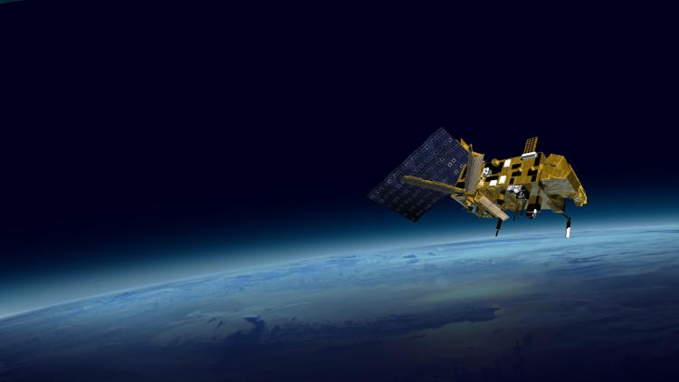
The EUMETSAT Polar System: A closer, global view from the polar orbit
The Metop satellites form the space segment of the EUMETSAT Polar System (EPS). They fly on a polar orbit at an altitude of 817km, about 42 times closer to the Earth than a geostationary satellite.
The Metop satellites provide a wealth of observations about the oceans, land and atmospheric parameters that can only be measured from such low-altitude orbits. Metop satellites provide global and quantitative observations which are the most critical inputs to the numerical models used to forecast weather up to 10 days in advance.
The first satellites in the EPS-Second Generation system are expected to be launched in the mid-2020s.